List of State Register of Heritage Places in the City of Gosnells facts for kids
The State Register of Heritage Places is like a special list of important old buildings and places in Western Australia. It's looked after by the Heritage Council of Western Australia, which is a group that helps protect these places. As of 2024, there are 193 places in the City of Gosnells that are recognized for their history, but only three of them are so special that they're on the main State Register. These three places are super important because they tell us a lot about the past!
Contents
Gosnells' Special Heritage Places
The City of Gosnells is home to three amazing places that are listed on the State Register of Heritage Places. These spots are protected so people can learn about their history for many years to come.
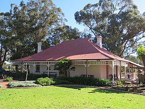
Wilkinson Homestead
The Wilkinson Homestead is a beautiful old house in Gosnells. It was built in 1912. This homestead is a great example of a "Federation Bungalow" style house, which was popular a long time ago. Today, it's also known as the City of Gosnells Museum and the Orange Tree Farm Museum. It's a fantastic place to visit and learn about what life was like in the past! It was added to the State Register on February 26, 1999.
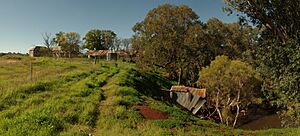
Maddington Homestead
The Maddington Homestead is an incredibly old building located in Maddington. It was built way back in 1836! This two-storey building was constructed in the "Georgian" style, which means it has a classic, grand look. You might also hear it called Maddington Park Homestead. It's one of the oldest buildings around and helps us understand the early days of the area. It became a State Registered place on September 21, 2001.
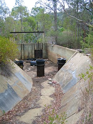
Canning Contour Channel (former)
The Canning Contour Channel is a really interesting historical structure near Kelmscott. It was built in 1935. This channel is made up of concrete sections that stretch for about 16 kilometers! Its main job was to carry large amounts of clean drinking water using only gravity, and it was open to the sky. This was quite unique for Western Australia. It's also sometimes called the Contour Channel/Fireplaces and Two Stone Chimneys. Part of this channel is also listed under the City of Armadale. It was added to the State Register on June 3, 2005.


