List of historic places in Pembina Valley facts for kids
The Pembina Valley Region, Manitoba is a special place with lots of old buildings and sites that tell stories about the past. These places are called historic places, and they are protected so everyone can learn from them. They can be federal (meaning the whole country cares about them), provincial (meaning the province of Manitoba cares about them), or municipal (meaning the local town or area cares about them).
Think of these places as giant history books you can walk through! They show us how people lived, worked, and built communities many years ago.
Contents
Cool Historic Places in Pembina Valley
Let's explore some of the interesting historic places you can find in the Pembina Valley Region. Each one has a unique story!
Historic Homes and Buildings
Many old houses and buildings in the region have been saved because they are important.
Houses with History
- The Fowler House in Argyle is one of these old homes. It's located at 111 Elizabeth Avenue East.
- Another interesting house is the Marringhurst Heritage House, also in Argyle.
- In Emerson, you can find the Bryce House at 99 Assiniboine Street and the Presbyterian Church Manse at 129 Park Street. A "manse" is a house where a minister or pastor used to live.
- The Rodmond Roblin House near Carman is another historic home.
- The Sexsmith House at 18 Kings Park Road in Carman is also protected.
- In Gretna, the Winkler House at 590 Hespeler Avenue is a historic spot.
- The Log Cabin in Manitou, located near Highway Number 3 and Main Street Junction, gives us a peek into early settler life.
- The Klippenstein House at 14 Centre Avenue East in Altona is another example of a preserved home.
- The Hamm House in Rhineland, at #68 Road 2 West, is also a historic residence.
- In Cartwright, the Menarey House is recognized for its history.
- Morden has several historic homes, including the Stodders House at 180 Nelson Street, the McConnell House at 577 Stephen Street, and the McElroy House at 645 Thornhill Street.
- The Braun Mennonite Log House and the Reimer Mennonite Log House are both found at the Pembina Threshermen's Museum in Morden. These log houses show how early settlers built their homes.
- The Ens Heritage Homestead in Stanley, at 141 Reinland Avenue, is another important historic farm.
Town Halls and Offices
Some buildings were important for running the towns.
- The Emerson Court House and Town Hall at 104 Church Street in Emerson served as a place for law and local government.
- The Masonic Lodge at 1 First Street in Emerson is also a historic building.
- The Manitou Town Hall at 325 Main Street was a central spot for the community.
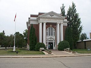
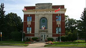
- The Memorial Hall at 12-2nd Avenue SW in Carman is another important community building.
- The Bergthaler Waisenamt at 48 Main Street in Altona was an important office for the Mennonite community.
- The Royal Bank Building at 72 3rd Street in Montcalm shows us what banks looked like long ago.
- The Carman Dominion Post Office at 15 1st Avenue SW was where people sent and received mail.
- The Morden Dominion Post Office at 352 Stephen Street in Morden also served as a main post office.
- The Crystal City Courier Building at 218 Broadway Street in Crystal City was home to a local newspaper.
- The Manitoba Telephone System Building at 350 Broadway Avenue in Cartwright shows the history of communication.
Historic Churches and Schools
Churches and schools were very important centers for early communities.
Places of Worship
- The Union Point United Church in Morris is a historic church.
- The Convent of the Sisters of the Holy Names of Jesus and Mary at 144 Caron Street in Montcalm is a historic religious building.
- St. Luke's Anglican Church - Pembina Crossing and St. Mary's and St. Albans Anglican Church are both historic churches located south and west of Manitou in the Pembina area.
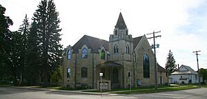
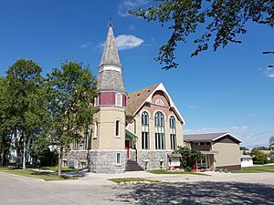
- The Carman United Church at 143 First Street SW is a beautiful old church.
- The Christ Anglican Church at Broadway and Curwen Street in Cartwright is another historic place of worship.
- Archibald United Church in Pembina is also a protected site.
- St. Andrew's United Church at 338 Hamilton Street in Manitou is a historic church.
- St. John the Baptist Anglican Church at 252 Hamilton Street in Manitou is also a historic church.
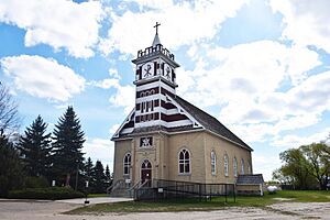
- Our Lady of Assumption Parish at 305 St. Paul Street in Mariapolis (Lorne) is a significant historic church.
- The Ste. Therese Roman Catholic Church in Lorne is another historic church.
- The Sidney United Church and Manse on Maple Street in North Norfolk are also historic.
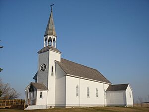
- The Frikirkju (Bru) Lutheran Church near Somerset is a historic church with a unique name.
- The Roseisle United Church is now located at the Pembina Threshermen's Museum in Morden.
Old Schools
Learning was important, and many old schools are now historic sites.
- The Darlingford Consolidated School at 20 Bradburn Street in Pembina is a historic school building.
- The Boyne School in Carman is another old school that has been preserved.
- The Mount Prospect School at 350 Broadway Avenue in Cartwright is also a historic school.
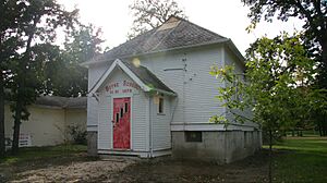
- The Star Mound School in Pembina is a very interesting historic school.
- The Roseisle School on 1st Avenue in Dufferin is another historic school.
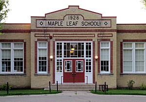
- The Maple Leaf School at 555 Thornhill Avenue in Morden is a historic school building.
- The Pomeroy School is also located at the Pembina Threshermen's Museum in Morden.
- The Opawaka School Site in Thompson is another important historic school location.
Railway History
Railways were super important for travel and trade in the past.
- The Canadian Pacific Railway Station at 6th Street in Emerson is a historic train station.
- The Carman Canadian National Railways Station at 38 Centre Avenue West is another historic train station.
- The Miami Railway Station (Canadian Northern) National Historic Site of Canada on Highway 23 in Miami is a very important historic train station, recognized across Canada.
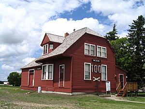
- The La Rivière Canadian Pacific Railway Station in Pembina is also a historic railway building.
- The Clearwater Canadian Pacific Railway Water Tower on 11th Street in Louise is a historic structure that helped trains get water.
- The Morden Canadian Pacific Railway Station is now located at the Pembina Threshermen's Museum in Morden.
Other Special Historic Sites
Some places are important for different reasons, like forts or entire villages.
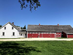
- Fort Dufferin National Historic Site of Canada is located on Highway 75, 3 miles north of Emerson. This fort played a big role in Canadian history, especially with the North-West Mounted Police (who later became the RCMP).
- The Neubergthal Street Village National Historic Site of Canada on Provincial Road 421 in Rhineland is unique because it's an entire historic village! It shows how Mennonite communities were planned and built.
- The Friesen Interpretive Centre at 89 Road 1 West in Altona helps people learn about the area's history.
- The Herdsman's House also at 89 Road 1 West in Altona is another historic building.
- The Blacksmith Shop at Veteran Drive and Bowles Street in Cartwright shows where important metalwork was done.
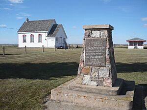
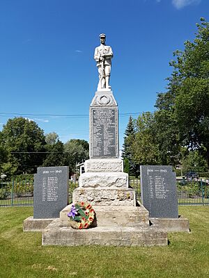
- The Darlingford Memorial and Park on Mountain Avenue in Pembina is a place to remember important events and people.
- The Manitou Cenotaph at the SW corner of Main Street and Park Avenue is a monument to soldiers.
- The Thomas Greenway Cemetery in Crystal City is a historic burial ground.
These historic places help us understand the rich history of the Pembina Valley Region and the people who lived there long ago.
See also
 | Percy Lavon Julian |
 | Katherine Johnson |
 | George Washington Carver |
 | Annie Easley |


