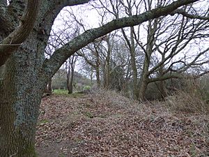
Lower Dicker facts for kids
| Site of Special Scientific Interest | |
 |
|
| Area of Search | East Sussex |
|---|---|
| Interest | Geological |
| Area | 0.1 hectares (0.25 acres) |
| Notification | 1998 |
| Location map | Magic Map |
Lower Dicker is a special place in East Sussex, England. It's called a Site of Special Scientific Interest (SSSI) because of its amazing geology. This small area, about the size of a football field (0.1-hectare (0.25-acre)), helps scientists understand what the Earth was like millions of years ago. It's a great spot to learn about ancient rivers and landscapes!
Contents
Ancient Earth Stories in the Rocks
Lower Dicker is like an open book of Earth's history. Here, you can see layers of sand in an old quarry. These sands are part of a much larger rock formation called the Weald Clay.
Rivers and Lakes Long Ago
Imagine a huge lake or lagoon that covered this area a very long time ago. Rivers flowed into this lake, carrying sand and mud. Over millions of years, these sands turned into solid rock called sandstone. The sandstone layers in the Weald Clay Group show us where these ancient rivers once flowed.
These sandstone layers are important markers for geologists. They help scientists understand different rock units that have the same features.
How Mountains Shaped the Land
The sandstones also tell us about big changes in the Earth's crust. Sometimes, land areas can slowly push upwards. This is called tectonic uplift. When land lifts up, it can make rivers flow faster and carry more sand and sediment into the ancient lake. So, these sandstones show us when and where these uplifts happened nearby.
Clues from Tiny Grains
Scientists also study the tiny minerals inside the sandstones. This is called mineralogy. By looking at the types of minerals, they can figure out where the sand originally came from. This is called its provenance. It's like finding clues that tell you the journey of a rock grain!
Understanding the minerals helps scientists learn about the palaeogeography of the Weald. Palaeogeography is the study of what the Earth's surface looked like in the past, including its mountains, rivers, and lakes.
Evidence of Ancient Rivers
Lower Dicker is special because it shows the most southerly layers of Weald Clay sand in Britain. It also shows the furthest known reach of rock pieces from the ancient Cornubian area. Today, Cornubia is where Devon and Cornwall are located.
Finding these pieces of rock here means that a very long time ago, a large river system flowed all the way from what is now south-west England to this area. It's amazing to think about how much the land has changed over millions of years!
 | Claudette Colvin |
 | Myrlie Evers-Williams |
 | Alberta Odell Jones |

