Mahaicony River facts for kids
Quick facts for kids Mahaicony River |
|
|---|---|
| Country | Guyana |
| Physical characteristics | |
| River mouth | Atlantic Ocean Mahaicony 6°34′N 57°48′W / 6.567°N 57.800°W |
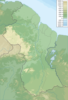
The Mahaicony River is a small river located in northern Guyana. It flows into the Atlantic Ocean. The village of Mahaicony is right where the river meets the ocean.
People living near the lower parts of the river mostly do farming and raise cattle. Walls and barriers, called sea defenses, were built to protect the land from the ocean wearing it away. Sometimes, very high tides and heavy rains can damage these defenses or natural barriers like mangrove trees. This can affect nearby towns such as Mahaicony, Content, and Dantzig.
There is a special gate called a "koker" at Mora Point. This koker helps to move water into the Jagdeo canal. There's also a plan called MMA/ADA Phase Two. This project aims to create a larger water storage area to help with drainage.
Life Along the River
The Mahaicony River is important for the people who live along its banks. It helps them travel and move goods.
River Settlements
About 96 miles up the river, you will find the village of Moraikobai. The river is a very important way for people in this community to get around.
Another village located along the river is called Esau and Jacob.
See also
 In Spanish: Río Mahaicony para niños
- List of rivers of Guyana
- List of rivers of the Americas by coastline


