Maryville Alcoa Greenway facts for kids
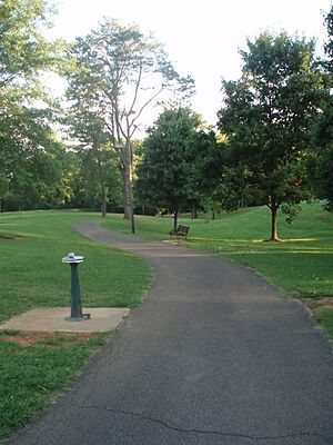
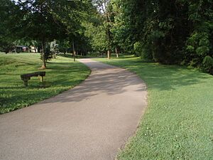
The Maryville Alcoa Greenway is a special paved path for walking and biking. It connects parks in two cities, Maryville and Alcoa, in Blount County, Tennessee. This path is a great place for people to exercise, play, and enjoy nature.
Contents
How the Greenway Started
Early Parks and the Idea
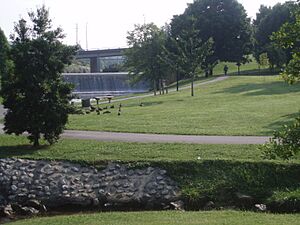
Long ago, the city of Maryville created its own park called Bicentennial Greenbelt Park. They cleared some land downtown and built a dam on Pistol Creek to create a water area. The city of Alcoa also had its own park, called Springbrook Park.
In 1996, people started thinking about connecting these two parks. They wanted to create a long path for everyone to use.
Getting the Project Going
To make the connection happen, the two cities needed money. In early 1996, they successfully received a large grant of $850,000 from a special government program. This money helped them begin building the Greenway.
Connecting the Parks
Between 1996 and 1998, the two parks were finally connected. A three-mile (5 km) path was built mostly within the city of Alcoa. During the same time, Maryville extended its part of the Greenway from the Greenbelt Park to the Maryville Intermediate School.
The Maryville Alcoa Greenway was officially opened on October 15, 1998.
Growing the Greenway
People loved the Greenway right away! By early 1999, plans were already being made to make it even longer. Alcoa added a side path through the Springbrook Corporate Center. The two cities also built an eastern path that connected the Greenbelt Park and Springbrook Park.
Today, the Greenway is well-lit and has clear signs. It offers many chances for picnics, playing, and exercising. It connects the two cities and is a nine-mile long (about 14.5 km) path for fun and recreation.
Exploring the Greenway Paths
Alcoa Main Path (4 miles)
The main part of the Greenway in Alcoa starts at Mile Marker 0, which is the line between Maryville and Alcoa. From there, it goes north for about 1.5 miles (2.4 km) to the Springbrook Corporate Center Spur.
Then, it turns east to the Alcoa Duck Pond, reaching about mile 3 (4.8 km). After that, it continues north through Springbrook Park to Hunt Road, ending at mile 4 (6.4 km).
Green Meadows Spur (1 mile)
This side path starts at mile 1.5 (2.4 km) on the Alcoa Main path. It stretches for 1 mile (1.6 km) through the Springbrook Corporate Center. This path crosses over US 129.
On December 22, 2010, a new bridge was finished over US 129. This bridge was built with special funding and makes it easy to reach the Green Meadows community.
East Connector Path (2.5 miles)
The East Connector begins at mile 3 (4.8 km) on the Alcoa Main path. It goes south for about 2.5 miles (4 km). This path follows the edge of the Alcoa Aluminum plant.
It crosses into Maryville at about 1.5 miles (2.4 km) along its route. It then connects to the Greenbelt Park about 1 mile (1.6 km) from its starting point at Mile Marker 0.
Maryville Path (4 miles)
The Maryville part of the Greenway also starts at Mile Marker 0, at the line between Maryville and Alcoa. It heads south, then west through the Bicentennial Park (Greenbelt). It then goes back east to the Charles West Amphitheater, which is next to the old Courthouse at mile marker 1 (1.6 km).
The Greenway then heads southeast, crossing US 321 and Montvale Road. It connects with Sandy Springs Park at about 2.5 miles (4 km).
Finally, the Greenway goes east to Pearson Springs Park at mile 3.5 (5.6 km) and ends at the Maryville Intermediate School at mile 4 (6.4 km).
 | Frances Mary Albrier |
 | Whitney Young |
 | Muhammad Ali |


