Morgan Inlet facts for kids
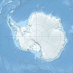
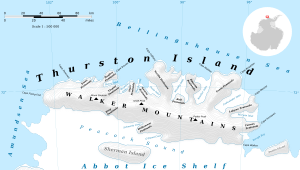
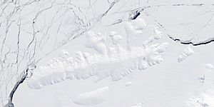
Morgan Inlet is a long, narrow arm of the sea located in Antarctica. It is mostly filled with ice and stretches for about 33 kilometers (18 nautical miles). This inlet has two main parts, or branches. It cuts into the eastern side of Thurston Island. On either side of Morgan Inlet are two land areas: Lofgren Peninsula and Tierney Peninsula.
Inside the inlet, there are some interesting features. The southern side of the larger northern arm has icy rock areas called the King Cliffs. Also, the eastern tip of the land between Lofgren Peninsula and Tierney Peninsula is known as Ryan Point.
Discovery and Naming
Morgan Inlet and its features were first seen in February 1960. This happened during helicopter flights from the U.S. Navy's Bellingshausen Sea Expedition. The Advisory Committee on Antarctic Names later gave these places their names.
The inlet was named after Lieutenant Commander Joseph R. Morgan. He was an officer with the U.S. Navy Task Force 43 during the 1960 expedition. His job involved studying the ocean and its depths.
The King Cliffs were named for Charles E. King. He was a geologist who worked with the Ellsworth Land Survey. His team explored these cliffs during the 1968–69 season.
Ryan Point is named after A.E. Ryan. He was a Chief Photographer's Mate in the U.S. Navy. Ryan was part of Operation Highjump's Eastern Group. This group took aerial photographs of Thurston Island and nearby coastal areas between 1946 and 1947.
 | Ernest Everett Just |
 | Mary Jackson |
 | Emmett Chappelle |
 | Marie Maynard Daly |


