Mount Calvin facts for kids
Quick facts for kids Mount Calvin |
|
|---|---|
| Highest point | |
| Elevation | 1,600 m (5,200 ft) |
| Geography | |
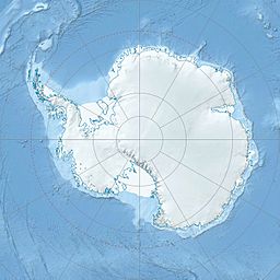
| Location | Pennell Coast, Victoria Land, Antarctica |
| Parent range | Everett Range |
Mount Calvin is a mountain over 1,600 meters (about 5,250 feet) high in Antarctica. It stands about 4 nautical miles (7.4 kilometers) southeast of Pilon Peak. This mountain is part of the southern Everett Range in an area called Victoria Land. It's a really cold and icy place!
About Mount Calvin
Mount Calvin is a significant natural feature in the vast, frozen landscape of Antarctica. Its height makes it stand out in the Everett Range. The mountain's exact location is at 71°17′S 165°6′E / 71.283°S 165.100°E.
How Mount Calvin Got Its Name
This mountain was first mapped by the United States Geological Survey between 1960 and 1963. They used special surveys and aerial photographs taken by the United States Navy.
The mountain was named after Lieutenant Calvin Luther Larsen. He was a navigator and photographic officer for the U.S. Navy Squadron VX-6. Lieutenant Larsen was part of an important mission called Operation Deep Freeze in 1969. He also spent a winter at a research station called Little America V in 1957.
The group that names places in Antarctica, called the Advisory Committee on Antarctic Names, decided to use Lieutenant Larsen's first name, Calvin. They did this because the last name "Larsen" was already used for many other places in Antarctica. Using his first name helped avoid confusion.
Where is Mount Calvin?
Mount Calvin is located on the Pennell Coast. This part of Antarctica is a long stretch of coastline. It lies between two other important points: Cape Williams and Cape Adare. The Pennell Coast is known for its rugged and icy terrain.


