Mount Keith (Antarctica) facts for kids
Quick facts for kids Mount Keith |
|
|---|---|
| Highest point | |
| Elevation | 1,530 m (5,020 ft) |
| Geography | |
| Location | Pennell Coast, Victoria Land, Antarctica |
| Parent range | Bowers Mountains |
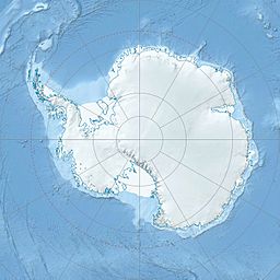
Mount Keith (70°54′S 163°19′E / 70.900°S 163.317°E) is a tall mountain located in Antarctica, the coldest continent on Earth. It stands at 1,530 meters (about 5,020 feet) high. This impressive peak is found in the Bowers Mountains, which are a major mountain range in a part of Antarctica called Victoria Land.
Mount Keith is specifically located at the eastern end of a ridge. This ridge sits between two large ice rivers, known as glaciers: the Rastorguev Glacier and the Crawford Glacier. The mountain is also part of the Pennell Coast, which is a long stretch of Antarctica's coastline.
How Mount Keith Was Discovered
Scientists and explorers have been mapping Antarctica for many years. Mount Keith was first mapped by the United States Geological Survey (USGS). This group creates detailed maps of land features. They used information from their own surveys and also from air photos taken by the United States Navy. These mapping efforts happened between 1960 and 1965.
Who Is Mount Keith Named After?
Mountains in Antarctica are often named after people who have contributed to exploring or studying the continent. Mount Keith was named by the Advisory Committee on Antarctic Names (US-ACAN). This committee is responsible for naming places in Antarctica for the United States.
The mountain was named in honor of John D. Keith. He was a builder with the U.S. Navy. John D. Keith was part of the team at the South Pole Station in 1965. This station is a research outpost located right at the geographic South Pole.


