Mount Lopatin facts for kids
Quick facts for kids Mount Lopatin |
|
|---|---|
| Highest point | |
| Elevation | 2,670 m (8,760 ft) |
| Geography | |
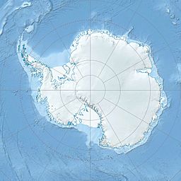
| Location | Borchgrevink Coast, Victoria Land, Antarctica |
| Parent range | Victory Mountains |
Mount Lopatin is a mountain located in Antarctica. It stands very tall, reaching about 2,670 meters (8,760 feet) into the sky. This mountain is found in a region of Antarctica known as Victoria Land.
It is part of a mountain range called the Victory Mountains. Mount Lopatin is situated on the Borchgrevink Coast. It is also about 11 kilometers (6 nautical miles) southeast of another mountain named Mount Riddolls.
How Mount Lopatin Was Mapped and Named
Scientists from the United States Geological Survey created maps of Mount Lopatin. They used special surveys and photos taken from airplanes. These photos were captured by the United States Navy between 1960 and 1964.
The mountain was given its name by a group called the Advisory Committee on Antarctic Names. They decided to name it after Boris Lopatin. He was a scientist from the Soviet Union. Boris Lopatin worked at McMurdo Station in 1968 as part of a scientist exchange program.


