Mount Mohl facts for kids
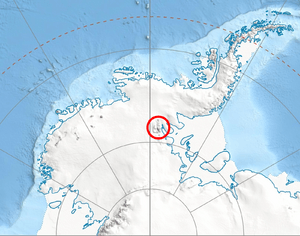
Mount Mohl is a tall mountain in Antarctica. It stands about 3,710 meters (12,172 feet) high. This makes it one of the significant peaks in the area. Mount Mohl is found on the eastern side of the Vinson Massif. The Vinson Massif is the highest mountain in Antarctica.
Mount Mohl sits on a ridge. This ridge is between the Dater Glacier and the Thomas Glacier. These are large rivers of ice. The mountain is part of the Sentinel Range. The Sentinel Range is a major mountain chain within the Ellsworth Mountains. It is also connected to Doyran Heights by a low pass called Goreme Col.
Exploring and Naming Mount Mohl
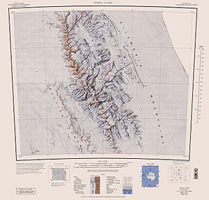
Mount Mohl was first mapped many years ago. This happened between 1957 and 1959. The United States Geological Survey helped with this mapping. They used surveys done on the ground. They also used special photos taken from airplanes by the United States Navy.
The mountain was given its name by a group called the Advisory Committee on Antarctic Names. This group is in charge of naming places in Antarctica. They named it after Commander Edgar A. Mohl. He was an officer in the U.S. Navy.
Who was Commander Edgar A. Mohl?
Commander Edgar A. Mohl was a hydrographic officer. This means he helped map and study water areas. He worked with a special Navy group called Task Force 43. This group was part of a big mission. The mission was called Operation Deep Freeze.
Operation Deep Freeze was a series of U.S. missions. These missions explored and supported research in Antarctica. Commander Mohl was involved in the first two Deep Freeze operations. These took place in 1955-56 and 1956-57. Naming the mountain after him honored his important work.
 | Audre Lorde |
 | John Berry Meachum |
 | Ferdinand Lee Barnett |


