National Register of Historic Places listings in Bighorn Canyon National Recreation Area facts for kids
The Bighorn Canyon National Recreation Area is a special place in Montana and Wyoming, United States. It's known for its amazing canyon, beautiful lake, and rich history. Many important historical sites within this area are listed on the National Register of Historic Places. This is a special list kept by the U.S. government to recognize places that are important to American history, architecture, archeology, engineering, or culture.
There are eight unique places in Bighorn Canyon National Recreation Area that have been added to this important list. These sites help us learn about the past, from ancient trails to old ranches and forts.
Contents
Historic Places in Bighorn Canyon
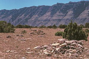
Bad Pass Trail
The Bad Pass Trail is an ancient pathway located east of Warren, along the Bighorn River. This trail was used by Native Americans for thousands of years, long before European settlers arrived. It's a reminder of the early people who traveled through this rugged land. It was added to the National Register on October 29, 1975.
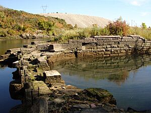
Bighorn Ditch Headgate
The Bighorn Ditch Headgate is found west of Fort Smith, right at the mouth of Bighorn Canyon. This structure was part of an irrigation system that helped bring water to farms in the area. It shows how people worked to use the land and water resources in the past. It was listed on December 12, 1976.
Cedarvale
Cedarvale, also known as Hillsboro, is an old settlement within the Bighorn Canyon National Recreation Area. It represents a historic community and the way people lived and worked in this remote region. It was recognized on August 19, 1975.
Ewing-Snell Ranch
The Ewing-Snell Ranch is located south of Dryhead. This ranch tells the story of ranching life in the American West. Ranches like this were central to the economy and culture of the region. It was added to the National Register on May 12, 1977.
Fort C.F. Smith Historic District
The Fort C.F. Smith Historic District is east of Fort Smith, within the Bighorn Canyon National Recreation Area. This fort was an important military post during the late 1800s, playing a role in the conflicts and changes happening in the West. It became a historic district on October 10, 1975.
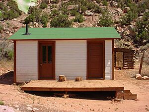
Caroline Lockhart Ranch
The Caroline Lockhart Ranch is situated near Davis Creek, about 70 miles south of Hardin. Caroline Lockhart was a famous writer and rancher. Her ranch provides a glimpse into the lives of independent women who helped shape the West. This ranch was listed on November 3, 1989.
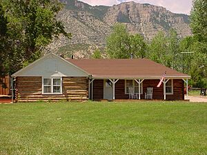
M L Ranch
The M L Ranch is located off Alternate U.S. Route 14, near the eastern shore of Bighorn Lake, about 13 miles east of Lovell. This ranch is another example of the important ranching heritage of the area. It shows the challenges and triumphs of early settlers and ranchers. It was added to the National Register on July 15, 1992.
Pretty Creek Archeological Site
The Pretty Creek Archeological Site is near Hardin. This site is very important for understanding the ancient history of the region. Archeological sites like this contain clues about the lives of people who lived here thousands of years ago, through artifacts and remains. Due to its sensitive nature, its exact address is not publicly shared. It was listed on January 17, 1975.


