National Register of Historic Places listings in Burke County, Georgia facts for kids
Did you know that some buildings and places are so special that they get a special title? In Burke County, Georgia, there are several amazing spots listed on the National Register of Historic Places (NRHP). This means they are important parts of history that are worth protecting and remembering for future generations. Let's explore some of these cool places!
Contents
Exploring Historic Places in Burke County, Georgia
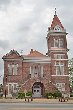
Burke County Courthouse
The Burke County Courthouse is a very important building in Waynesboro. It's where many local government decisions are made. This grand building was added to the National Register of Historic Places in 1980, recognizing its historical value to the community.
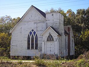
Haven Memorial Methodist Episcopal Church
Also located in Waynesboro is the Haven Memorial Methodist Episcopal Church. This church has a rich history and has been a central part of the community for many years. It was recognized for its importance and listed on the National Register in 1996.
Hopeful Baptist Church
In Keysville, you'll find the Hopeful Baptist Church. This church is a fantastic example of Greek Revival architecture, which was a popular style in the mid-1800s. It was built between 1850 and 1851. What makes it especially notable is that it had both white and Black members before the American Civil War, which was very unusual for its time. It became a historic place in 1993.
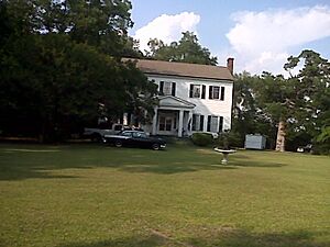
John James Jones House
The John James Jones House is another historic gem in Waynesboro. This house tells a story of the past, giving us a peek into how people lived many years ago. It was added to the National Register of Historic Places in 1980.
McCanaan Missionary Baptist Church and Cemetery
Near Sardis, the McCanaan Missionary Baptist Church and Cemetery holds a special place in history. This site includes both a historic church and its cemetery, which often tell stories of the people who lived and worshipped there. It was listed as a historic place in 2001.
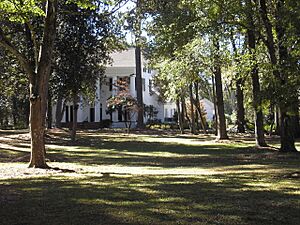
Sapp Plantation
The Sapp Plantation is a historic property located northwest of Sardis. Plantations like this played a significant role in the history of Georgia. This site was recognized for its historical importance in 1980.
Waynesboro Commercial Historic District
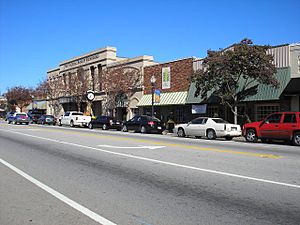
The Waynesboro Commercial Historic District covers several streets in downtown Waynesboro, including E. 6th, E. 7th, E. 8th, S. Liberty, and Myrick Streets. This area is important because it shows what the main business part of Waynesboro looked like in the past. It was added to the National Register in 1993.
Waynesboro Historic District
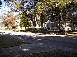
The larger Waynesboro Historic District includes a wider area of Waynesboro, roughly bounded by Walker Street, 12th Street, Waters Street, Corker Row, 4th Street, and Jones Avenue. This district helps preserve the overall historic feel and look of the town. It was listed on the National Register of Historic Places in 2009.


