National Register of Historic Places listings in Columbia County, Washington facts for kids
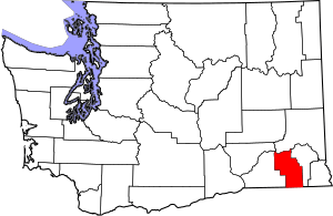
Welcome to Columbia County, Washington! This special place is home to many buildings and areas that are super old and important. They are so special, they've been added to a list called the National Register of Historic Places. Think of it like a Hall of Fame for buildings and places that tell a story about the past.
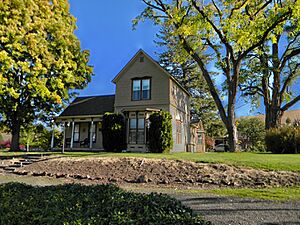
These places are chosen because they are important to the history, architecture, or culture of the United States. When a place is on this list, it means it's recognized as a valuable part of our heritage. It also helps protect these places for future generations to enjoy and learn from. In Columbia County, there are 20 amazing spots on this list! Let's explore some of them.
Historic Places in Columbia County
Dayton's Downtown and Homes
Many of the historic places are found in the city of Dayton, the county seat. Dayton has a rich history, and you can see it in its buildings!
- Columbia County Courthouse: This beautiful building, located at 341 E. Main Street, was added to the list in 1975. It's where important county decisions have been made for many years.
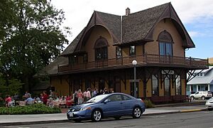
- Dayton Depot: Train stations were once super busy places! The Dayton Depot, at 2nd and Commercial Streets, became historic in 1974. It reminds us of a time when trains were a main way to travel and transport goods.
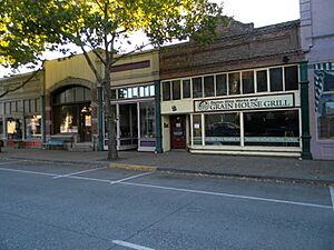
- Downtown Dayton Historic District: This isn't just one building, but a whole area! Roughly along Main Street, this district was listed in 1999. It includes many old shops and buildings that show what Dayton looked like long ago.
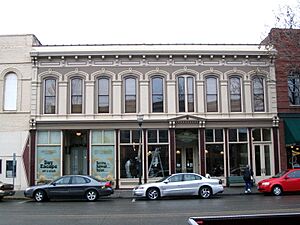
- Guernsey-Sturdevant Building: Located at 225 E. Main Street, this building was added to the list in 1993. It's another example of the historic architecture in Dayton's downtown.
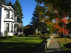
- South Side Historic District: Another historic area in Dayton, this district is roughly bounded by Clay, Third, Park, and First Streets. It was listed in 1986 and features many historic homes.
- Washington Street Historic District: This district, roughly along Washington Street between Patit Creek and Third Street, also became historic in 1986. It's another charming area with old buildings.
Special Homes in Dayton
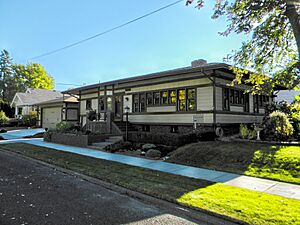
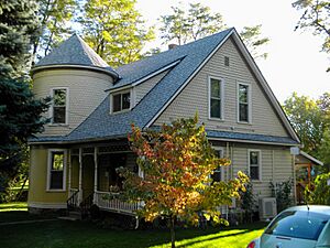
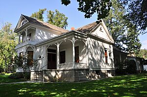
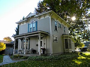
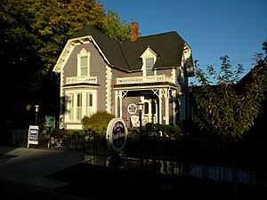
Several individual homes in Dayton are also on the National Register, each with its own story:
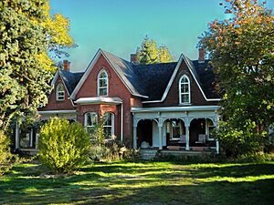
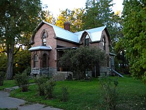
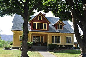
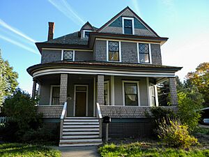
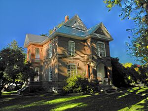
- A. H. Bishop House: Found at 622 E. Richmond, this house was listed in 1986. It's a beautiful example of older homes in the area.
- John Brining House: This home at 410 N. First was also added in 1986. It's another well-preserved historic residence.
- Dexter House No. 1: Located at 515 S. Fourth, this house was listed in 1986.
- Dexter House No. 2: Another Dexter house, this one at 507 N. Third, was also added in 1986.
- Frank Flintner House: You can find this house at 214 S. Sixth. It became a historic place in 1986.
- Grover J. Israel House: This home at 305 S. Sixth was listed in 1986.
- Mancel Kelley House: Located at 1301 S. Fifth, this house was added in 1986.
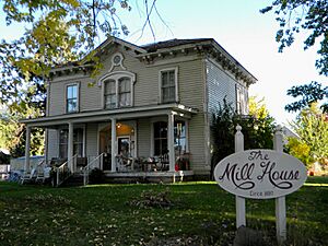
- Mill House: This house at 504 N. First was listed in 1986.
- Andrew Nilsson House: Found at 312 E. Patit, this house became historic in 1986.
- Dr. Marcel Pietrzycki House: This home at 415 E. Clay was added to the list in 1986.
- J. A. Thronson House: Located at 510 S. Fourth, this house was listed in 1986.
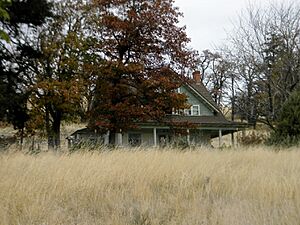
- Jacob Weinhard House: This house, located northwest of Dayton, was listed in 1986.
Historic Places Beyond Dayton
Columbia County has other important historic sites outside of Dayton:
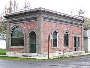
- Bank of Starbuck: In the town of Starbuck, this old bank building at Main and McNeil Streets was listed in 1978. It's a cool example of a historic bank from the early 1900s.
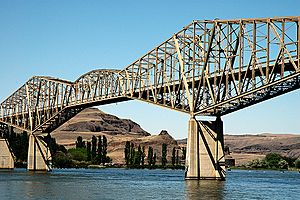
- Snake River Bridge: This bridge, located north of SR 12 near Lyons Ferry, was added to the list in 1982. Bridges are often important for their engineering and how they connect communities.
These places help us remember and understand the past of Columbia County and the state of Washington. They are like living museums that we can visit and appreciate!
 | Chris Smalls |
 | Fred Hampton |
 | Ralph Abernathy |


