National Register of Historic Places listings in DeSoto County, Mississippi facts for kids
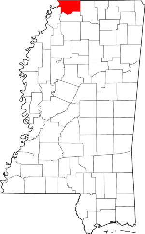
Welcome to DeSoto County, Mississippi! This article is about special places here that are listed on the National Register of Historic Places. Think of it like a national list of important buildings, areas, or objects that tell a story about our country's past. These places are protected because they are valuable parts of history.
In DeSoto County, there are 13 different places and areas that have earned a spot on this important list. They include old houses, parts of towns, and even a cemetery. Each one helps us understand what life was like long ago in Mississippi.
What is the National Register of Historic Places?
The National Register of Historic Places is the official list of the United States' historic places worthy of preservation. It's managed by the National Park Service. When a place is added to this list, it means it's recognized for its historical, architectural, archaeological, engineering, or cultural importance.
Why are these places important?
These historic places are like time capsules. They show us how people lived, worked, and built things in the past. By protecting them, we make sure that future generations, like you, can learn from and enjoy these pieces of history. It helps us remember where we came from and how our communities grew.
Historic Places in Hernando
Many of DeSoto County's historic spots are located in the city of Hernando. This city has several areas, called "historic districts," where many old buildings are grouped together.
Hernando's Historic Districts
- Hernando Commerce Street Historic District: This area includes buildings along Commerce Street. It shows how the town's business center looked in the past.
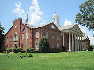
- Hernando Courthouse Square District: This district is around the main courthouse in Hernando. It's a central part of the town's history and includes important old buildings.
- Hernando North Side Historic District: This area covers streets like W. Northern Street and Holly Springs Street. It gives us a peek into the older residential parts of Hernando.
- Hernando South Side (Magnolia) Historic District: Located near Magnolia Drive and W. Center Street, this district also features historic homes and buildings.
- North Elm Historic District: This district includes parts of North, W. Robinson, and Memphis Streets. It's another neighborhood with a rich history.
Individual Historic Buildings in Hernando
Besides the districts, some single buildings in Hernando are also on the list:
- Dockery House: This house was built around 1876. It's a great example of homes from that time period. You can find it on Robertson Gin Road.
- Hernando Water Tower: This old water tower, located at Losher and Church Streets, was added to the list in 2013. It's an important part of the town's infrastructure history.
- Felix Labauve House: Built around 1865, this house on Magnolia Drive is another historic home that tells a story of Hernando's past.
- Robertson-Yates House: Constructed around 1850, this house on Robertson Gin Road is one of the older homes on the list in DeSoto County.
- Springhill Cemetery: Not just buildings, but even historic cemeteries can be listed! Springhill Cemetery, located at College Street and W. Oak Grove Road, was added in 2012. It's a place where many early residents of Hernando are buried.
Historic Places in Olive Branch
The city of Olive Branch also has a historic property on the National Register.
Miller Plantation House
- The Miller Plantation House is located on Miller Road in Olive Branch. It was built around 1849, making it one of the oldest structures on the list in DeSoto County. It represents the early history of settlement and farming in the area.
How are places added to the list?
To be added to the National Register, a place must meet certain requirements. It usually needs to be at least 50 years old and have special importance. This importance could be because of its history, its design, or its connection to important people or events. Experts study these places carefully before they are approved for the list.


