National Register of Historic Places listings in Jones County, Texas facts for kids
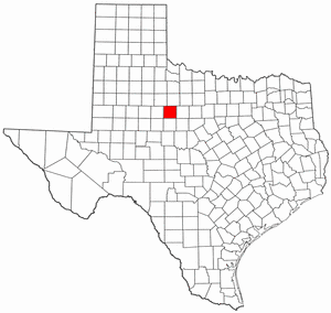
Welcome to Jones County, Texas! Did you know that some buildings and places here are super old and important? They are so special that they are listed on the National Register of Historic Places. This means they are officially recognized for their history and unique architecture. Think of it like a hall of fame for buildings!
These places help us learn about the past and how people lived a long time ago. Let's explore some of these cool historic spots in Jones County!
Contents
Historic Places in Jones County
Amazing Buildings in Stamford
Stamford is a town in Jones County with many historic buildings. A lot of them were built a long time ago and show us what life was like back then.
J. P. Astin House
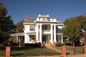
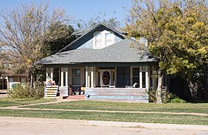
The J. P. Astin House is a beautiful old home located at 111 E. Campbell. It was added to the National Register of Historic Places in 1986. This house tells a story about the families who lived there and the style of homes popular in the past.
Buena Vista Hotel
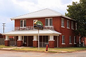
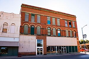
The Buena Vista Hotel, found at 123 N. Wetherbee, was once a busy place for travelers. Hotels like this were very important before cars were common. People would stay here when visiting Stamford. It became a historic place in 1986.
Dr. E. P. Bunkley House and Garage
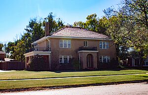
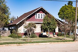
This property includes both the house and its garage, located at 1034 E. Reynolds. Dr. E. P. Bunkley was likely an important person in the community. This site was recognized for its history in 1986.
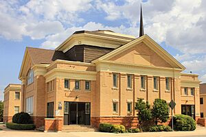
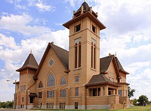
First Baptist Church
The First Baptist Church, at E. Oliver and N. Swenson, is a significant religious building in Stamford. Churches often serve as community centers and have long histories. This church was added to the list in 1986.
Historic Homes in Stamford
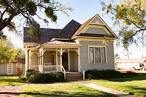
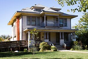
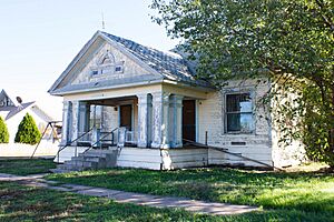
Several other houses in Stamford are also on the National Register. These homes show different architectural styles from the past. They include:
- The house at 501 North Swenson.
- The house at 502 South Orient.
- The house at 610 East Oliver.
- The house at 709 East Reynolds.
- The house at 719 East Reynolds.
- The house at 815 East Campbell.
- The A. J. Jackson House at 305 S. Ferguson.
- The A. J. Swenson House at 305 E. Oliver.
All these homes were recognized as historic in 1986. They help preserve the look and feel of old Stamford.
Old Bryant-Link Building
Located at 120 S. Swenson, the Old Bryant-Link Building is another important commercial building from Stamford's past. It was listed in 1986. Buildings like this were central to the town's business life.
Old Penick-Hughes Company
The Old Penick-Hughes Company building, at 100-106 E. Hamilton, was likely a business that served the community. It became a historic site in 1986.
Old West Texas Utilities Company
This building at 127 E. McHarg was once home to the Old West Texas Utilities Company. Utility companies are very important for providing power and services. This building was listed in 1986.
Saint John's Methodist Church
Another significant church in Stamford is Saint John's Methodist Church, located on S. Ferguson Street. It was added to the National Register in 1986, showing its long-standing role in the community.
SMS Building
The SMS Building, at 101 S. Wetherbee and 210 E. McHarg, is a historic structure that was recognized in 1986. It represents the commercial growth of Stamford.
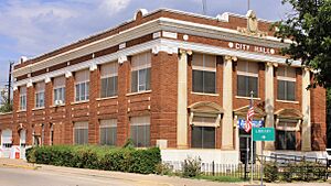
Stamford City Hall
The Stamford City Hall, at 201 E. McHarg, is where the local government operates. This building has been important for the town's leadership for many years. It was listed as historic in 1986.
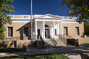
US Post Office
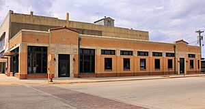
The US Post Office in Stamford, at 115 S. Swenson St., is where people have sent and received mail for generations. Post offices are often key buildings in a town's history. This one was listed in 1986.
Historic Sites Outside Stamford
Jones County has other important historic places too, not just in Stamford!
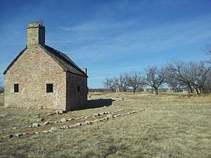
Fort Phantom Hill
North of Abilene on Ranch Rd. 600, you'll find Fort Phantom Hill. This isn't a building, but the remains of an old military fort! It was built in 1851 to protect settlers. It's a very important historical site and was listed in 1972. It helps us understand the early days of Texas.
Jones County Courthouse
The Jones County Courthouse, located at 1100 12th St. in Anson, is a grand building where many important decisions for the county have been made. Courthouses are often the heart of a county's government and history. This one was added to the National Register in 2003.
Images for kids


