National Register of Historic Places listings in Lowell, Massachusetts facts for kids
These are the National Registered Historic Places listings in Lowell, Massachusetts.
Lowell, Massachusetts, is a city with a rich history, especially known for its role in the American Industrial Revolution. Many buildings, areas, and structures in Lowell are so important that they have been added to the National Register of Historic Places. This is a special list kept by the United States government to protect and celebrate places that have played a big part in American history, architecture, archaeology, engineering, or culture.
When a place is on this list, it means it's recognized as a valuable part of our country's past. It also helps protect these places from being changed or destroyed, and sometimes even helps with funding for their care. Let's explore some of these amazing historic places in Lowell!
Contents
- Historic Buildings and Homes
- Important Houses
- Historic Schools
- Other Notable Buildings
- Grace Universalist Church
- Holy Trinity Greek Orthodox Church
- St. George Antiochian Orthodox Church
- St. Joseph's Convent and School
- Saint Joseph's Roman Catholic College for Boys
- St. Patrick's Church
- Warren Fox Building and Howe Building
- Lowell Post Office
- F. Bradford Morse Federal Building (Old US Post Office)
- Monarch Diner
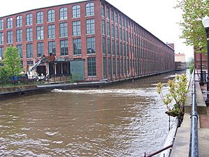
- Musketaquid Mills
- Pawtucket Congregational Church
- Varnum Building
- Chelmsford Glass Works' Long House
- Wamesit Canal-Whipple Mill Industrial Complex
- Historic Districts and Areas
- City Hall Historic District
- Lowell Cemetery
- Lowell Historic Preservation District
- Lowell Locks and Canals Historic District
- Lowell National Historical Park
- Middlesex Canal Historic and Archaeological District
- Rogers Fort Hill Park Historic District
- South Common Historic District
- Tyler Park Historic District
- Wannalancit Street Historic District
- Washington Square Historic District
- Wilder Street Historic District
Historic Buildings and Homes
Many buildings in Lowell have unique stories and show us how people lived and worked in the past.
Important Houses
Lowell has several historic homes that are recognized for their architecture or the people who lived in them.
Allen House
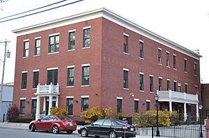
The Allen House is a historic home located at 2 Solomont Way. It was added to the National Register on August 11, 1982. This house is now part of the University of Massachusetts Lowell campus. It's cool to see how old buildings can be given new life!
Bowers Houses
There are two interesting houses named after the Bowers family:
- The Jerathmell Bowers House at 150 Wood Street was listed on January 28, 1994.
- The Jonathan Bowers House at 58 Wannalancit Street was listed on June 18, 1976.
These houses give us a peek into the lives of early residents of Lowell.
Brown-Maynard House
The Brown-Maynard House at 84 Tenth Street was added to the list on July 2, 1986. It's another example of the historic homes that dot the city.
Hoyt-Shedd Estate
The Hoyt-Shedd Estate is a larger property located at 386–396 Andover Street and 569–579 East Merrimack Street. It was recognized on May 17, 1984. Estates like this often show how wealthier families lived in the past.
Worcester House
The Worcester House at 658 Andover Street was listed on December 22, 1983. It's another important historic home in Lowell.
Historic Schools
Several old school buildings in Lowell are also on the National Register, showing how education has changed over time.
Butler School
The Butler School at 812 Gorham Street was added to the list on February 2, 1995. Imagine going to school in a building that's now considered a historic landmark!
Colburn School
The Colburn School at 136 Lawrence Street was listed on May 19, 1995. These old school buildings often have unique architectural styles.
Varnum School
The Varnum School at 103 Sixth Street was recognized on January 24, 1995. It's another example of Lowell's commitment to preserving its educational past.
Other Notable Buildings
Lowell also has other important historic buildings, including churches and commercial structures.
Grace Universalist Church
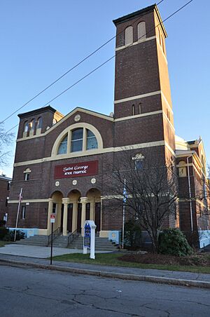
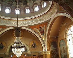
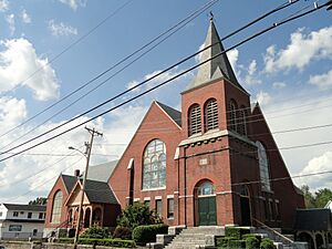
The Grace Universalist Church at 44 Princeton Boulevard was listed on March 11, 2011. It is now known as the St. George Hellenic Orthodox Church. This shows how buildings can change their use over time while still keeping their historical importance.
Holy Trinity Greek Orthodox Church
The Holy Trinity Greek Orthodox Church at 62 Lewis Street was added to the list on April 13, 1977. This church is an important part of the community's history and culture.
St. George Antiochian Orthodox Church
The St. George Antiochian Orthodox Church at 61 Bowers Street was listed on June 10, 2008. It's another beautiful example of religious architecture in Lowell.
St. Joseph's Convent and School
The St. Joseph's Convent and School at 517 Moody Street was recognized on July 19, 2002. This complex played a role in both religious life and education.
Saint Joseph's Roman Catholic College for Boys
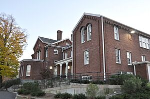
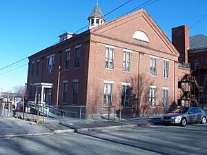
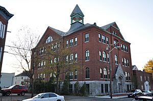
The Saint Joseph's Roman Catholic College for Boys at 760 Merrimack Street was listed on February 24, 2010. This building was important for the education of boys in the area.
St. Patrick's Church
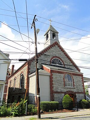
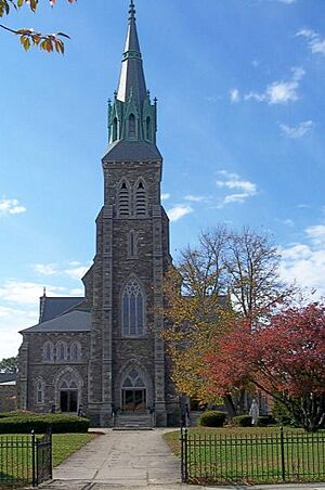
St. Patrick's Church at 284 Suffolk Street was added to the list on January 3, 1985. Churches like St. Patrick's are often central to the history of their neighborhoods.
Warren Fox Building and Howe Building
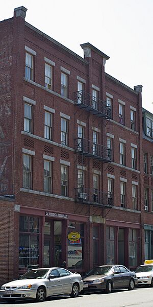
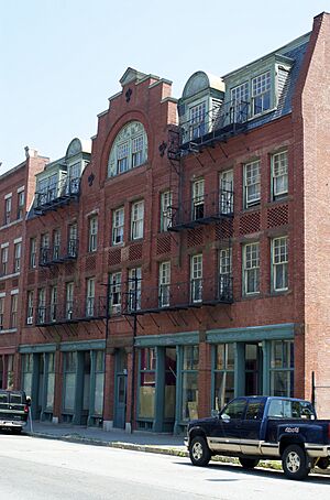
The Warren Fox Building (190–196 Middlesex Street) and the Howe Building (208 Middlesex Street) were both listed on October 12, 1989. These buildings show the commercial history of Lowell.
Lowell Post Office
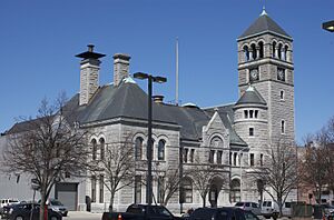
The Lowell Post Office at 89 Appleton Street was listed on October 4, 2002. Post offices are often important civic buildings in a city's history.
F. Bradford Morse Federal Building (Old US Post Office)
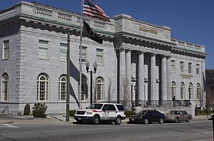
The building at 50 Kearny Square was originally listed as the US Post Office on March 10, 1986. It was later renamed the F. Bradford Morse Federal Building in 2006. This building serves as a federal office.
Monarch Diner
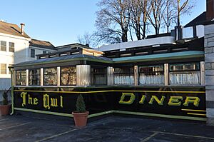
The Monarch Diner at 246 Appleton Street was listed on November 28, 2003. It's now known as The Owl Diner. Diners are a classic part of American culture, and this one is a historic example!
Musketaquid Mills
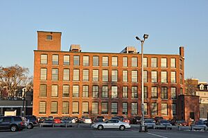
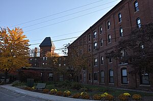
The Musketaquid Mills at 131 Davidson Street was added to the list on December 9, 1999. Mills like this were key to Lowell's industrial past.
Pawtucket Congregational Church
The Pawtucket Congregational Church at 15 Mammoth Road was listed on March 21, 2007. This church has been a part of the Pawtucketville neighborhood for many years.
Varnum Building
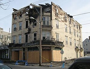
The Varnum Building at 401–405 Bridge Street was listed on December 19, 1988. Sadly, this building was demolished after a fire. Even if a building is gone, its history can still be recognized.
Chelmsford Glass Works' Long House
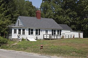
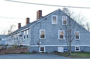
The Chelmsford Glass Works' Long House at 139–141 Baldwin Street was listed on January 25, 1973. This building is a reminder of Lowell's early industries, even before it became a major textile city.
Wamesit Canal-Whipple Mill Industrial Complex
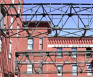
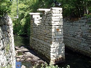
The Wamesit Canal-Whipple Mill Industrial Complex at 576 Lawrence Street was added on August 11, 1982. This complex shows the connection between Lowell's canals and its factories.
Historic Districts and Areas
Some historic listings cover entire areas or districts, not just single buildings. These districts tell a bigger story about how Lowell grew and developed.
City Hall Historic District
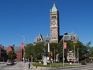
The City Hall Historic District includes the area around Broadway and French Streets, Colburn Street, and parts of Kirk Street. It was first listed on April 21, 1975, and expanded on October 13, 1988. This district highlights the important civic center of Lowell.
Lowell Cemetery
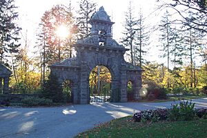
The Lowell Cemetery at 984 Lawrence Street was listed on May 20, 1998. Cemeteries can be historic places because they contain old monuments, unique landscaping, and are the final resting places of important historical figures.
Lowell Historic Preservation District
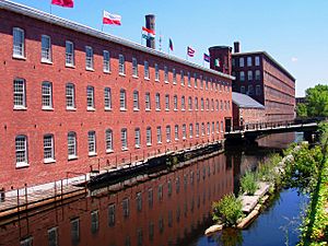
This large district covers the Lowell area around the Merrimack River. It was listed on January 19, 2001. This district protects the core industrial and historical areas of Lowell, including many of its famous mill buildings.
Lowell Locks and Canals Historic District
Located between Middlesex Street and the Merrimack River, the Lowell Locks and Canals Historic District was listed on August 13, 1976. This district is also a National Historic Landmark, which is an even higher level of recognition! It highlights the amazing system of canals that powered Lowell's mills.
Lowell National Historical Park
The Lowell National Historical Park on Merrimack Street was listed on June 5, 1978. This park was created to preserve and interpret the history of the Industrial Revolution in Lowell. It's a great place to visit and learn about how factories and canals changed America.
Middlesex Canal Historic and Archaeological District
The Middlesex Canal itself is a very old and important waterway. It was first listed as a historic district on August 21, 1972, running southeast between Lowell and Woburn. A larger district, the Middlesex Canal Historic and Archaeological District, was added on November 19, 2009. This canal was a huge engineering feat for its time, connecting Lowell to Boston before railroads were common.
Rogers Fort Hill Park Historic District
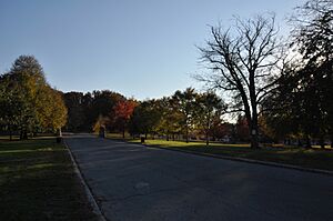
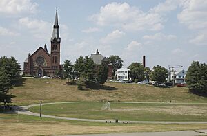
This district is roughly bounded by High Street, Mansur Street, Concord River, and Lowell Cemetery. The Rogers Fort Hill Park Historic District was listed on May 27, 1999. Parks can be historic too, especially if they have unique designs or played a role in the community's social life.
South Common Historic District
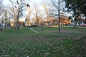
The South Common Historic District is roughly bounded by Summer, Gorham, Thorndike, and Highland Streets. It was listed on August 10, 1982. Common areas were important public spaces in early American towns.
Tyler Park Historic District
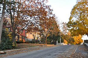
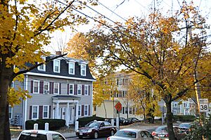
The Tyler Park Historic District is roughly bounded by Princeton, Foster, and Pine Streets. It was added on August 17, 1989. This district shows a historic residential area around a park.
Wannalancit Street Historic District
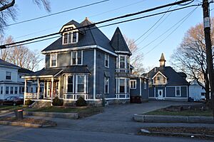
The Wannalancit Street Historic District includes 14–71 Wannalancit Street and 390, 406 Pawtucket Street. It was listed on May 20, 1998. This district preserves the look and feel of a historic neighborhood.
Washington Square Historic District
The Washington Square Historic District is roughly bounded by Merrimack, Park, Andover, Oak, Harrison, and Willow Streets. It was listed on August 11, 1982, and expanded on November 12, 1999. This district is another important residential and commercial area with historical significance.
Wilder Street Historic District
The Wilder Street Historic District covers 284–360 Wilder Street. It was listed on May 26, 1995. This district showcases another part of Lowell's historic residential areas.
 | Kyle Baker |
 | Joseph Yoakum |
 | Laura Wheeler Waring |
 | Henry Ossawa Tanner |


