Nicolaas Kruik facts for kids
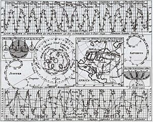
Nicolaas Samuelszoon Kruik (also known as Klaas Kruik or Nicolaes Krukius) was a Dutch expert who lived from 1678 to 1754. He was a land surveyor, a mapmaker, an astronomer (someone who studies stars and planets), and a weatherman. Today, the Museum De Cruquius is named after him.
Kruik loved to measure things and was very precise. He even calculated temperature readings in Fahrenheit for many years. His old weather records are still used today by the KNMI, which is the Dutch weather institute. He measured many weather changes, like wind speed, rainfall, air pressure, temperature, and how much moisture was in the air. He also measured sea levels.
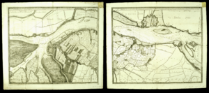
One of his most important inventions was a new way to show water depth on maps. In his 1728 map of the Merwede river, he drew lines that connected points of the same depth. These lines are called isobaths, and his map was the first of its kind! He also believed that a large lake called the Haarlemmermeer should be pumped dry. This idea was finally put into action about a hundred years after he died.
Nicolaas Kruik's Life Story
Nicolaas Kruik became a surveyor when he was 19 years old. Drawing maps was a good job back then, and he was very good at it. He was born in Vlieland, but he moved to Delft when he was young. In Delft, in 1705, he started his first weather observations, carefully writing down what he saw.
In 1717, when he was 39, Kruik was already a well-known surveyor. But he decided to move to a family farm near Leiden and study at Leiden University. He studied with Herman Boerhaave, who was the most famous scientist in the Netherlands at that time. Thanks to Boerhaave, Kruik became a member of the Royal Society of London, a very important group of scientists. The Royal Society's secretary, James Jurin, started the first network of weather stations across Europe, and Dutch members like Kruik played a big part. Kruik became a full member of the Royal Society in 1724.
In the early 1720s, a scientist named Luigi Ferdinando Marsigli visited Holland. He and Boerhaave encouraged Kruik to keep very careful weather records. They believed that changes in the weather could affect people's health. So, Kruik started traveling to different beaches and rivers in the Netherlands. He studied the water levels while still making maps. Sometimes, Boerhaave and Marsigli even joined him on these trips. While studying the Merwede river, he began to think about how to keep the low-lying areas of the Netherlands from flooding.
Around this time, after his first maps and measurements were published, Kruik changed his name to the Latin version, Cruquius. In 1725, he wrote an important letter to Willem 's Gravesande, a physics professor in Leiden. In this letter, he suggested a scientific way to solve the Netherlands' water problems. This idea eventually led to a big plan in 1727 to protect the country from water. This plan later helped make it possible to pump the Haarlemmermeer lake dry, more than a century later.
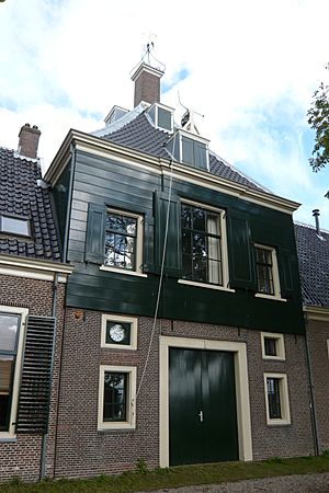
In 1733, he joined the 'Hoogheemraadschap Rijnland', which is a Dutch water board agency. He worked as a water inspector in Spaarndam. There, he met Jan Noppen, who started one of the earliest continuous weather stations. Noppen took measurements three times a day, recording temperature, air pressure, humidity, and rainfall.
Kruik was a unique person. He even wrote music! He had a strong desire to measure everything around him, including his own weight every day. People who knew him said that only his friend Boerhaave could really work well with him.
 | William L. Dawson |
 | W. E. B. Du Bois |
 | Harry Belafonte |


