Purral facts for kids
Quick facts for kids
Purral
|
|
|---|---|
|
District
|
|
| Country | |
| Province | San José |
| Canton | Goicoechea |
| Creation | 23 July 1991 |
| Area | |
| • Total | 3.11 km2 (1.20 sq mi) |
| Elevation | 1,242 m (4,075 ft) |
| Population
(2011)
|
|
| • Total | 27,464 |
| • Density | 8,831/km2 (22,870/sq mi) |
| Time zone | UTC−06:00 |
| Postal code |
10807
|
Purral is a lively district located in the Goicoechea area, which is part of the San José province in Costa Rica. It's a place where many people live and work.
How Purral Started
Purral became its own official district on July 23, 1991. Before that, it was part of another district called Ipís. It's like a new neighborhood being officially recognized!
Where is Purral?
Purral covers an area of about 3.11 square kilometers. To give you an idea, that's roughly the size of 311 football fields! It sits at an elevation of 1,242 meters above sea level. This means it's quite high up, which can sometimes make the weather a bit cooler.
People Living in Purral
According to the 2011 census, about 27,464 people call Purral home. This number helps us understand how many people live in the district and how it has grown over time.
Getting Around Purral
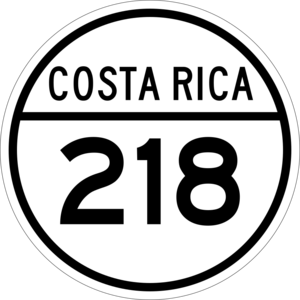
Roads are important for people to travel and move things around. The main road that goes through Purral is:
- National Route 218
See also
 In Spanish: Purral para niños
 | James B. Knighten |
 | Azellia White |
 | Willa Brown |


