Quemado, Texas facts for kids
Quick facts for kids
Quemado, Texas
|
|
|---|---|
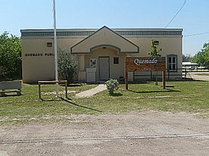
The Quemado Library
|
|
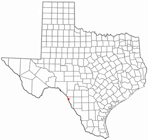
Location of Quemado, Texas
|
|
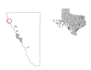 |
|
| Country | United States |
| State | Texas |
| County | Maverick |
| Area | |
| • Total | 0.1 sq mi (0.3 km2) |
| • Land | 0.1 sq mi (0.3 km2) |
| • Water | 0.0 sq mi (0.0 km2) |
| Elevation | 784 ft (239 m) |
| Population
(2020)
|
|
| • Total | 162 |
| • Density | 1,600/sq mi (540/km2) |
| Time zone | UTC-6 (Central (CST)) |
| • Summer (DST) | UTC-5 (CDT) |
| ZIP code |
78877
|
| Area code(s) | 830 |
| FIPS code | 48-60092 |
| GNIS feature ID | 1365897 |
Quemado is a small community located in Maverick County, Texas, in the United States. It is known as a census-designated place (CDP). This means it is a special area that the government counts for population statistics, even though it's not a city or town with its own local government. In 2020, about 162 people lived in Quemado.
Contents
Exploring Quemado's Location
Quemado is located in a part of Texas that is entirely land. It does not have any large bodies of water within its boundaries. The total area of Quemado is about 26 hectares, which is roughly the size of 64 football fields.
Who Lives in Quemado?
| Historical population | |||
|---|---|---|---|
| Census | Pop. | %± | |
| 2020 | 162 | — | |
| U.S. Decennial Census 1850–1900 1910 1920 1930 1940 1950 1960 1970 1980 1990 2000 2010 |
|||
Understanding the Population
The 2020 United States census counted 162 people living in Quemado. This population was spread across 41 households, with 41 families making their homes there. Most of the people living in Quemado are of Hispanic or Latino background. A smaller number of residents are White (not Hispanic) or of mixed backgrounds.
Learning in Quemado
Students in Quemado attend schools that are part of the Eagle Pass Independent School District. This school district helps provide education for children and teens in the area.
See also
 In Spanish: Quemado (Texas) para niños


