Rancho Redondo facts for kids
Quick facts for kids
Rancho Redondo
|
|
|---|---|
|
District
|
|
| Country | |
| Province | San José |
| Canton | Goicoechea |
| Area | |
| • Total | 13.38 km2 (5.17 sq mi) |
| Elevation | 2,048 m (6,719 ft) |
| Population
(2011)
|
|
| • Total | 2,538 |
| • Density | 189.69/km2 (491.28/sq mi) |
| Time zone | UTC−06:00 |
| Postal code |
10806
|
Rancho Redondo is a special area called a district. It is part of the Goicoechea canton, which is like a county. This canton is found in the San José province of Costa Rica.
Contents
Discovering Rancho Redondo
Rancho Redondo is a district in Costa Rica. It is known for its beautiful natural setting. The district is located in the San José Province.
Where is Rancho Redondo?
This district covers an area of about 13.38 square kilometers. To give you an idea, that's roughly the size of 1,300 football fields! Rancho Redondo is also quite high up. Its elevation is 2,048 meters above sea level. This means it's located in the mountains.
How Many People Live Here?
People have lived in Rancho Redondo for a long time. In 1892, there were 263 people. The population grew over the years. By 2011, a census counted 2,538 people living in the district. This number helps us understand how the community has changed.
| Historical population | |||
|---|---|---|---|
| Census | Pop. | %± | |
| 1892 | 263 | — | |
| 1927 | 339 | 28.9% | |
| 1950 | 432 | 27.4% | |
| 1963 | 816 | 88.9% | |
| 1973 | 1,231 | 50.9% | |
| 1984 | 1,491 | 21.1% | |
| 2000 | 2,718 | 82.3% | |
| 2011 | 2,538 | −6.6% | |
|
Instituto Nacional de Estadística y Censos |
|||
Getting Around Rancho Redondo
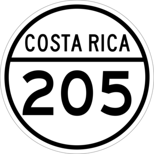
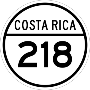
Roads are important for people to travel in and out of Rancho Redondo. The district has two main road routes. These roads connect Rancho Redondo to other places.
- National Route 205
- National Route 218
These routes help residents and visitors move around. They are part of Costa Rica's national road system.
See also
 In Spanish: Rancho Redondo para niños
 | Lonnie Johnson |
 | Granville Woods |
 | Lewis Howard Latimer |
 | James West |


