River Robe (Ireland) facts for kids
Quick facts for kids River Robe |
|
|---|---|

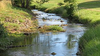
The Robe entering the village of Brickens
|
|
| Native name | Abhainn an Róba |
| Physical characteristics | |
| Main source | Bekan Parish, Mayo |
| River mouth | Lough Mask, Mayo |
| Length | 62.8 kilometres (39.0 mi) |
| Basin features | |
| Basin size | 320 square kilometres (120 sq mi) |
The River Robe (which is called Abhainn an Róba in Irish) is a river in County Mayo, Ireland. It starts near Ballyhaunis and flows mostly west for about 64 kilometers (40 miles). The river then flows into Lough Mask, which is a large lake.
The name An Róba comes from an old Irish word, Rodba. This word might have meant "sharp" or "aggressive". The River Robe is the longest river that flows into Lough Mask. It collects water from an area of about 320 square kilometers (124 square miles) in south Mayo.
Where Does the River Robe Flow?
The River Robe begins its journey about five kilometers (three miles) southwest of Ballyhaunis. It winds its way through the area of Keebagh and then through Brickens village.
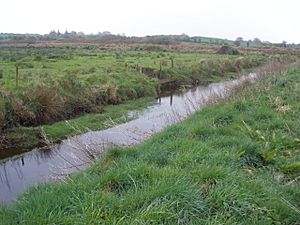
The river then turns gently west. It flows between the towns of Claremorris and Ballindine. The Robe twists and turns like a snake next to the R331 road. It passes by a place called Taugheen.
From Taugheen, the river starts to flow southwest towards Hollymount. After Hollymount, the river makes wide loops. Finally, it flows southwest into the town of Ballinrobe. The name Ballinrobe means "town of the Robe" in Irish.
The River Robe ends its journey by flowing into Lough Mask. This happens about four kilometers (2.5 miles) west of Ballinrobe, near a place called Cushlough. Cushlough means "beside the lake" in Irish.
 | Jewel Prestage |
 | Ella Baker |
 | Fannie Lou Hamer |


