Road Forks, New Mexico facts for kids
Quick facts for kids
Road Forks, New Mexico
|
|
|---|---|

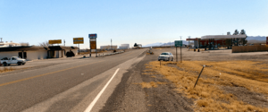
Looking south from Interstate 10
|
|
| Country | United States |
| State | New Mexico |
| County | Hidalgo |
| Elevation | 4,193 ft (1,278 m) |
| Time zone | UTC-7 (Mountain (MST)) |
| • Summer (DST) | UTC-6 (MDT) |
| ZIP codes |
88045
|
| Area code(s) | 575 |
| GNIS feature ID | 893996 |
Road Forks is a small, unincorporated community in the western part of Hidalgo County, New Mexico. An "unincorporated community" means it's a place where people live, but it doesn't have its own official local government like a city or town.
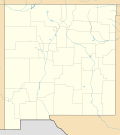
This community is located in the southwestern corner of New Mexico. It's about 6 miles (10 km) east of the Arizona border. Road Forks is also found right where two important roads meet: Interstate 10 and New Mexico Route 80. It is about 15 miles (24 km) southwest of the city of Lordsburg. Another nearby place is Steins, which is about 3 miles (5 km) to the west.
Road Forks used to have its own post office. This post office opened shortly after the community was founded in 1925. However, it closed in 1955. After that, people in Road Forks had to go to Lordsburg for their postal services.
History of Road Forks
Road Forks was established in 1925. It was founded by a couple, Mr. and Mrs. G. H. Porter. They were the ones who gave the community its unique name, "Road Forks." This name likely came from its location at the meeting point of important roads.
 | Toni Morrison |
 | Barack Obama |
 | Martin Luther King Jr. |
 | Ralph Bunche |


