San Antonio District, Alajuela facts for kids
Quick facts for kids
San Antonio
|
|
|---|---|
|
District
|
|
| Country | |
| Province | Alajuela |
| Canton | Alajuela |
| Area | |
| • Total | 8.93 km2 (3.45 sq mi) |
| Elevation | 870 m (2,850 ft) |
| Population
(2011)
|
|
| • Total | 24,971 |
| • Density | 2,796.3/km2 (7,242/sq mi) |
| Time zone | UTC−06:00 |
| Postal code |
20104
|
San Antonio is a district located in the Alajuela canton. This area is part of the Alajuela province in Costa Rica. It is a place where many people live and work.
Contents
About San Antonio's Land
San Antonio covers an area of about 8.93 square kilometers. This is roughly the size of a small town. The district sits at an elevation of 870 meters above sea level. Being this high up can affect the local climate.
Who Lives in San Antonio?
This section tells us about the people living in San Antonio. It shows how the population has changed over many years.
| Historical population | |||
|---|---|---|---|
| Census | Pop. | %± | |
| 1883 | 1,222 | — | |
| 1892 | 1,401 | 14.6% | |
| 1927 | 1,172 | −16.3% | |
| 1950 | 1,734 | 48.0% | |
| 1963 | 3,728 | 115.0% | |
| 1973 | 7,519 | 101.7% | |
| 1984 | 11,471 | 52.6% | |
| 2000 | 22,094 | 92.6% | |
| 2011 | 24,971 | 13.0% | |
|
Instituto Nacional de Estadística y Censos |
|||
According to the 2011 census, San Antonio had a population of 24,971 people. As you can see from the list above, the number of people living here has grown a lot over time!
Getting Around San Antonio
People in San Antonio use different ways to travel. The district has a good network of roads and also a train line.
Road Transportation
Several important roads pass through San Antonio. These roads help people travel to other parts of Costa Rica.
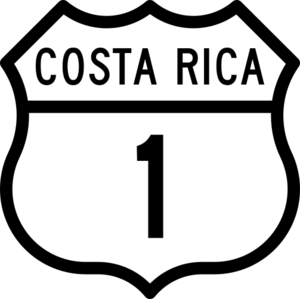
- National Route 1 is a major highway.
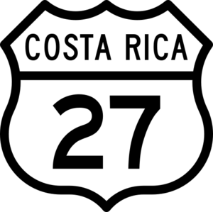
- National Route 27 is another key road.
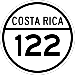
- National Route 122
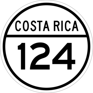
- National Route 124
- National Route 721
Rail Transportation
The Interurbano Line is a train service that runs through this district. It is operated by a company called Incofer. This train helps people commute and travel within the area.
See also
 In Spanish: San Antonio de Alajuela para niños
 | James Van Der Zee |
 | Alma Thomas |
 | Ellis Wilson |
 | Margaret Taylor-Burroughs |


