San Isidro District, Grecia facts for kids
Quick facts for kids
San Isidro
|
|
|---|---|
|
District
|
|
| Country | |
| Province | Alajuela |
| Canton | Grecia |
| Area | |
| • Total | 17.01 km2 (6.57 sq mi) |
| Elevation | 1,290 m (4,230 ft) |
| Population
(2011)
|
|
| • Total | 5,949 |
| • Density | 349.74/km2 (905.8/sq mi) |
| Time zone | UTC−06:00 |
| Postal code |
20302
|
San Isidro is a special area called a district in the Grecia region. It is part of the Alajuela province in the beautiful country of Costa Rica.
Contents
What's in a Name?
San Isidro gets its name from Saint Isidore. He was an important Catholic saint.
Where is San Isidro?
San Isidro covers an area of about 17 square kilometers (about 6.5 square miles). It is located 1,290 meters (about 4,232 feet) above sea level. This district sits on the side of the famous Poás Volcano.
How Many People Live Here?
| Historical population | |||
|---|---|---|---|
| Census | Pop. | %± | |
| 1892 | 793 | — | |
| 1927 | 911 | 14.9% | |
| 1950 | 1,439 | 58.0% | |
| 1963 | 2,843 | 97.6% | |
| 1973 | 3,271 | 15.1% | |
| 1984 | 2,891 | −11.6% | |
| 2000 | 5,201 | 79.9% | |
| 2011 | 5,949 | 14.4% | |
|
Instituto Nacional de Estadística y Censos |
|||
According to the 2011 census, about 5,949 people lived in San Isidro.
Getting Around San Isidro
Roads You Can Take
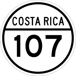
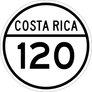
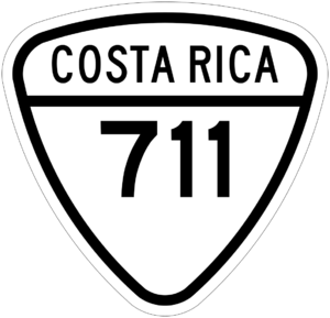
Several important roads pass through San Isidro. These roads help people travel to and from the district:
- National Route 107
- National Route 120
- National Route 711
See also
 In Spanish: San Isidro de Grecia para niños
Black History Month on Kiddle
Famous African-American Artists:
 | Delilah Pierce |
 | Gordon Parks |
 | Augusta Savage |
 | Charles Ethan Porter |

All content from Kiddle encyclopedia articles (including the article images and facts) can be freely used under Attribution-ShareAlike license, unless stated otherwise. Cite this article:
San Isidro District, Grecia Facts for Kids. Kiddle Encyclopedia.


