Terhune, Indiana facts for kids
Quick facts for kids
Terhune, Indiana
|
|
|---|---|

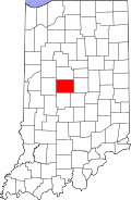
Boone County's location in Indiana
|
|
| Country | United States |
| State | Indiana |
| County | Boone |
| Township | Marion |
| Elevation | 935 ft (285 m) |
| Time zone | UTC-5 (Eastern (EST)) |
| • Summer (DST) | UTC-4 (EDT) |
| ZIP code |
46069
|
| Area code(s) | 765 |
| FIPS code | 18-75338 |
| GNIS feature ID | 444644 |
Terhune is a small, unincorporated community located in Marion Township, Boone County, in the U.S. state of Indiana. Being "unincorporated" means it's not officially a city or town with its own local government. Instead, it's part of a larger township.
Discovering Terhune's Past
Terhune has an interesting history with a name change. Long ago, it was known by a different name: "Kimberlin."
How Terhune Got Its Name
A post office was first set up in the area in 1879, and it was called Kimberlin. A few years later, in 1883, the name of the post office was changed to Terhune. The post office continued to serve the community until 1917, when it was closed down.
Where is Terhune Located?
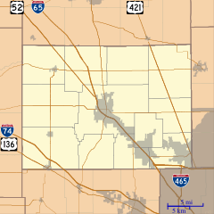
Terhune is found in the state of Indiana. You can find its exact spot on a map using these coordinates: 40 degrees, 9 minutes, 55 seconds North latitude and 86 degrees, 16 minutes, 49 seconds West longitude. This tells us its precise location on Earth.


