Toro Amarillo facts for kids
Quick facts for kids
Toro Amarillo
|
|
|---|---|
|
District
|
|
| Country | |
| Province | Alajuela |
| Canton | Sarchí |
| Area | |
| • Total | 90.93 km2 (35.11 sq mi) |
| Elevation | 1,442 m (4,731 ft) |
| Population
(2011)
|
|
| • Total | 273 |
| • Density | 3.002/km2 (7.776/sq mi) |
| Time zone | UTC−06:00 |
| Postal code |
21203
|
Toro Amarillo is a special area called a district in the Sarchí canton. It's located in the Alajuela province, which is part of the beautiful country of Costa Rica. Think of a district like a neighborhood or a smaller part of a bigger town or county.
Contents
Exploring Toro Amarillo's Location
Toro Amarillo is a district within the Sarchí canton. It's found in the Alajuela province of Costa Rica.
How Big is Toro Amarillo?
This district covers an area of about 90.93 square kilometers. To give you an idea, that's roughly the size of 9,000 football fields!
How High Up is Toro Amarillo?
Toro Amarillo is located at an elevation of 1,442 meters above sea level. This means it's quite high up, which can often lead to cooler temperatures and beautiful views.
Who Lives in Toro Amarillo?
This section tells us about the people living in Toro Amarillo. It's like taking a census to count everyone!
Population Numbers
According to the 2011 census, Toro Amarillo had a population of 273 people. This makes it a smaller community, where people likely know each other well.
| Historical population | |||
|---|---|---|---|
| Census | Pop. | %± | |
| 1950 | 676 | — | |
| 1963 | 348 | −48.5% | |
| 1973 | 356 | 2.3% | |
| 1984 | 273 | −23.3% | |
| 2000 | 295 | 8.1% | |
| 2011 | 273 | −7.5% | |
|
Instituto Nacional de Estadística y Censos |
|||
Getting Around Toro Amarillo
Transportation is how people and goods move from one place to another. In Toro Amarillo, roads are important for travel.
Road Connections
The district is connected by specific road routes. These roads help people travel to and from Toro Amarillo.
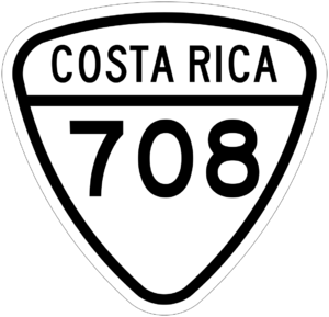
- National Route 708
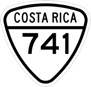
- National Route 741
See also
 In Spanish: Toro Amarillo para niños


