Winthrop, Indiana facts for kids
Quick facts for kids
Winthrop, Indiana
|
|
|---|---|
| Country | United States |
| State | Indiana |
| County | Warren |
| Township | Warren |
| Founded | 1884 |
| Founded by | Jacob M. Rhode |
| Elevation | 682 ft (208 m) |
| Time zone | UTC-5 (Eastern (EST)) |
| • Summer (DST) | UTC-4 (EDT) |
| ZIP code |
47993
|
| Area code(s) | 765 |
| GNIS feature ID | 446200 |
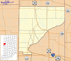
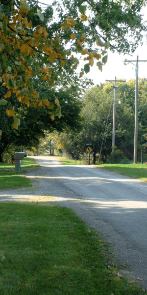
Winthrop is a small unincorporated community located in Warren Township, Warren County, in the U.S. state of Indiana. It was founded in 1884 by Jacob M. Rhode.
Contents
History of Winthrop
Winthrop was officially planned out on March 3, 1884. A farmer named Jacob Morgan Rhode created the town's layout. The name "Winthrop" likely came from a person's name.
Railroad Connections
In the late 1800s and early 1900s, a railroad line called the "Coal Road" served Winthrop. This line was part of the Chicago and Eastern Illinois Railroad. It ran north and south through the town.
After 1922, the railroad became known as the Chicago, Attica and Southern Railroad. However, it started to decline in the 1930s. By 1945, the tracks were removed. Today, there are very few signs left of where the railroad once ran.
Geography of Winthrop
Winthrop is located in a rural part of Indiana. It sits about 1.5 miles (2.4 km) east of Indiana State Road 55. The community is also about 6.5 miles (10.5 km) north of Williamsport, which is the county seat.
Elevation and Waterways
The land around Winthrop is fairly flat, with the community sitting at an elevation of about 680 feet (207 meters) above sea level. The West Fork of Kickapoo Creek flows to the west and south of Winthrop. This creek is a natural waterway in the area.
See also
 In Spanish: Winthrop (Indiana) para niños


