Wintun Glacier facts for kids
Quick facts for kids Wintun Glacier |
|
|---|---|
| Type | Mountain glacier |
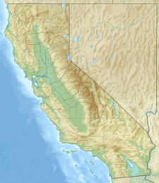
| Location | Siskiyou County, California, United States |
| Coordinates | 41°24′28″N 122°10′56″W / 41.40778°N 122.18222°W |
| Area | .5 sq mi (1.3 km2) |
| Length | 1.3 mi (2.1 km) |
| Thickness | 68 ft (21 m) average |
| Terminus | Moraine |
| Status | Expanding |
The Wintun Glacier is a huge river of ice found on the eastern side of Mount Shasta in California. It's one of the biggest and most important glaciers in the state. Imagine a giant, slow-moving river made of ice – that's a glacier! The Wintun Glacier is the third largest and third most massive glacier in California. Only the nearby Hotlum Glacier and the Whitney Glacier are bigger.
Wintun Glacier: A Giant Ice River
The Wintun Glacier starts high up on the east side of Mount Shasta's main peak. It has the highest permanent snow and ice on the mountain. This ice reaches up to over 14,100 ft (4,300 m), almost to the very top of the mountain.
How Big is the Wintun Glacier?
This impressive glacier flows east down a very steep slope. It ends in two parts, with the longest part reaching down to about 9,800 ft (3,000 m). The Wintun Glacier covers an area of about .5 sq mi (1.3 km2). It stretches for about 1.3 mi (2.1 km) and is around 68 ft (21 m) thick on average.
Is the Glacier Growing?
Scientists studied Mount Shasta's glaciers in 2002. This was the first detailed look in 50 years! They found that seven of the glaciers had actually grown between 1951 and 2002. The Hotlum and Wintun Glaciers almost doubled in size. The Bolam Glacier grew by half, and the Whitney and Konwakiton Glaciers got a third bigger. This shows that even though many glaciers around the world are shrinking, some on Mount Shasta are expanding.
 | Selma Burke |
 | Pauline Powell Burns |
 | Frederick J. Brown |
 | Robert Blackburn |


