Zapotal facts for kids
Quick facts for kids
Zapotal
|
|
|---|---|
|
District
|
|
| Country | |
| Province | Alajuela |
| Canton | San Ramón |
| Area | |
| • Total | 67.24 km2 (25.96 sq mi) |
| Elevation | 1,033 m (3,389 ft) |
| Population
(2011)
|
|
| • Total | 391 |
| • Density | 5.815/km2 (15.061/sq mi) |
| Time zone | UTC−06:00 |
| Postal code |
20212
|
Zapotal is a small district located in Costa Rica. It is part of the San Ramón area, which is in the Alajuela province. Think of a district as a smaller part of a larger region.
Contents
About Zapotal
Zapotal is a quiet place in Costa Rica. It is known for its natural beauty and peaceful environment. People who live here enjoy a calm lifestyle.
Where is Zapotal?
Zapotal covers an area of about 67.24 square kilometers. That's roughly the size of 16,600 football fields! It sits high up, at an elevation of 1,033 meters above sea level. This means it's located in the mountains or hills, which often gives it cooler weather and nice views.
Who Lives in Zapotal?
According to the 2011 census, about 391 people live in Zapotal. This makes it a very small community. Over the years, the number of people living here has changed. For example, in 1950, there were 770 residents, but the population has become smaller since then.
Getting Around Zapotal
The district has a main road that helps people travel.
Road Connections
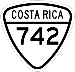
- National Route 742 is the main road that goes through Zapotal. This route connects the district to other places, making it easier for residents to get around.
See also
 In Spanish: Zapotal de San Ramón para niños
 | Delilah Pierce |
 | Gordon Parks |
 | Augusta Savage |
 | Charles Ethan Porter |


