Zyba, Kansas facts for kids
Quick facts for kids
Zyba, Kansas
|
|
|---|---|

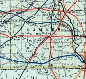
1915 Railroad Map of Sumner County
|
|

|
|
| Country | United States |
| State | Kansas |
| County | Sumner |
| Elevation | 1,230 ft (370 m) |
| Time zone | UTC-6 (CST) |
| • Summer (DST) | UTC-5 (CDT) |
| Area code | 620 |
| FIPS code | 20-81050 |
| GNIS ID | 484508 |
Zyba is a small, unincorporated community located in Sumner County, Kansas, in the United States. An unincorporated community is a place that does not have its own local government. Instead, it is usually managed by the county.
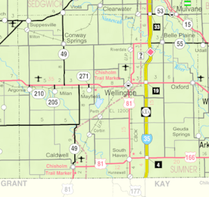
Zyba is found about 4 miles southwest of the Kansas Star Casino. It sits near the intersection of N West Street and E 120th Avenue N. The community is also close to a railroad line and the Ninnescah River.
History of Zyba
Early Days and the Post Office
Even though Zyba is a small community, it once had its own post office. A post office is a place where people can send and receive mail. It was a very important part of daily life before the internet and cell phones.
The post office in Zyba first opened its doors in 1887. This means that for many years, people living in and around Zyba could easily send letters to friends and family or receive important documents. Having a post office often showed that a community was growing and active.
However, the post office did not stay open forever. It closed down in 1906. This might have happened because fewer people lived in the area, or perhaps nearby towns grew larger and offered more services. The closing of a post office often marks a change in a community's history.
Education in Zyba
Students living in the Zyba area attend public schools managed by the Belle Plaine USD 357 school district. This district serves several communities, making sure that kids in Zyba have access to education.
 | Bessie Coleman |
 | Spann Watson |
 | Jill E. Brown |
 | Sherman W. White |


