Adamsboro, Indiana facts for kids
Quick facts for kids
Adamsboro
|
|
|---|---|

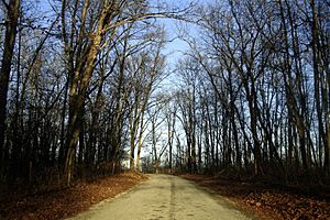
A country road in Adamsboro.
|
|

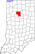
Cass County's location in Indiana
|
|
| Country | United States |
| State | Indiana |
| County | Cass |
| Township | Clay |
| Elevation | 646 ft (197 m) |
| ZIP code |
46947
|
| FIPS code | 18-00514 |
| GNIS feature ID | 449611 |
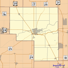
Adamsboro is a small, unincorporated community located in Clay Township, within Cass County, Indiana. An unincorporated community is a place that doesn't have its own local government, but it's still a recognized area where people live.
History of Adamsboro
Adamsboro was officially planned and mapped out in 1872. This happened when the Eel River Railroad was built and reached that specific spot. The community was named after its founder, a man named George E. Adams.
Black History Month on Kiddle
Prominent African-American Women
 | Claudette Colvin |
 | Myrlie Evers-Williams |
 | Alberta Odell Jones |

All content from Kiddle encyclopedia articles (including the article images and facts) can be freely used under Attribution-ShareAlike license, unless stated otherwise. Cite this article:
Adamsboro, Indiana Facts for Kids. Kiddle Encyclopedia.

