Aguacaliente facts for kids
Quick facts for kids
Aguacaliente
|
|
|---|---|
|
District
|
|
| Country | |
| Province | Cartago |
| Canton | Cartago |
| Area | |
| • Total | 100.37 km2 (38.75 sq mi) |
| Elevation | 1,330 m (4,360 ft) |
| Population
(2011)
|
|
| • Total | 31,789 |
| • Density | 316.718/km2 (820.30/sq mi) |
| Time zone | UTC−06:00 |
| Postal code |
30105
|
Aguacaliente, also known as San Francisco, is a special area called a district. It is part of the Cartago canton, which is like a county, in the Cartago province of Costa Rica.
Contents
About Aguacaliente
Aguacaliente is a district located in the beautiful country of Costa Rica. It's known by two names, Aguacaliente and San Francisco. This area is an important part of the Cartago province.
Where is Aguacaliente?
Aguacaliente covers an area of about 100.37 square kilometers. To give you an idea, that's roughly the size of 14,000 football fields! It's also quite high up, located about 1,330 meters above sea level. This high elevation often means cooler temperatures and lovely views.
How Many People Live Here?
| Historical population | |||
|---|---|---|---|
| Census | Pop. | %± | |
| 1883 | 1,875 | — | |
| 1892 | 2,337 | 24.6% | |
| 1927 | 1,174 | −49.8% | |
| 1950 | 1,803 | 53.6% | |
| 1963 | 2,796 | 55.1% | |
| 1973 | 5,184 | 85.4% | |
| 1984 | 8,963 | 72.9% | |
| 2000 | 28,516 | 218.2% | |
| 2011 | 31,789 | 11.5% | |
|
Instituto Nacional de Estadística y Censos |
|||
Every few years, countries count how many people live in different areas. This is called a census. During the 2011 census in Costa Rica, it was found that Aguacaliente had a population of 31,789 people. This number helps us understand how communities grow and change over time.
Getting Around Aguacaliente
Transportation is very important for people to travel and for goods to move. Aguacaliente has several main roads that help connect it to other parts of Costa Rica.
Main Road Routes
The district is connected by these important road routes:
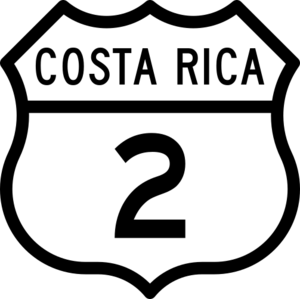
- National Route 2: This is a major road that helps people travel across different regions.
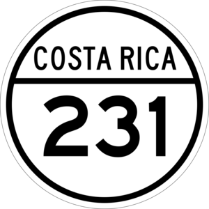
- National Route 231: Another key route that serves the district and surrounding areas.
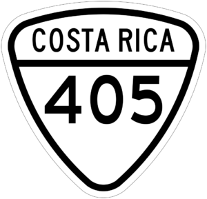
- National Route 405: This route also plays a role in local and regional transportation.
These roads are like the veins of the district, allowing people to commute, visit, and transport goods easily.
See also
 In Spanish: Aguacaliente para niños


