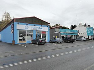
Ankers Bower facts for kids
Ankers Bower is a small area in County Westmeath, Ireland. It's known as a townland, which is a traditional type of land division in Ireland. It's also a hill! The name Ankers Bower might come from a person named John Ankers. He was a vicar (a type of church leader) in the area way back in 1608.
This townland is part of St. Mary's civil parish and is located in the Brawny barony. A part of Ankers Bower is also within the area that used to be the urban district of Athlone.
About Ankers Bower
Ankers Bower is a quiet place. It's mostly a rural area, meaning it has more countryside than busy city streets. Even though it's a small area, it has a history that goes back hundreds of years.
How Many People Live Here?
For a long time, Ankers Bower was mostly empty.
- In 1841 and 1851, no one lived in the entire townland.
- By 1861, about 60 people called Ankers Bower home.
- Later, parts of the townland that were outside the main town of Athlone became uninhabited again.
Changing Boundaries
The size and official boundaries of Ankers Bower have changed over time.
- In 2003, a new rule called the Athlone Town Boundary Alteration Order added more of Ankers Bower into the town of Athlone. This meant that some parts of the townland became officially part of the town.
- Later, in 2014, the Athlone town council was removed by a new law. These changes show how local areas can grow and change their official borders over many years.


