Barnes Ice Cap facts for kids
Quick facts for kids Barnes Ice Cap |
|
|---|---|
| Type | Ice cap |
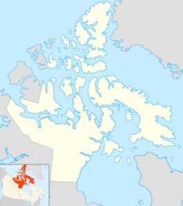
| Location | Baffin Island |
| Coordinates | 70°00′N 73°30′W / 70.000°N 73.500°W |
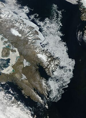
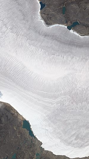
The Barnes Ice Cap is a large sheet of ice located in the middle of Baffin Island, which is part of Nunavut, Canada. It is one of the biggest ice caps in the world.
Contents
What is the Barnes Ice Cap?
This huge ice cap covers about 6,000 square kilometers (that's about 2,300 square miles). It sits in the Baffin Mountains. An ice cap is like a smaller version of a glacier or an ice sheet. It covers a large area of land.
How the Ice Cap is Changing
The Barnes Ice Cap has been getting thinner. This is happening because the area around it is getting warmer. For example, between 2004 and 2006, the ice cap was losing about 1 meter (or 3 feet) of its thickness each year.
Ancient Ice and Earth's Past
The ice in the Barnes Ice Cap is very old. Some parts of it are more than 20,000 years old! This makes it the oldest ice found in Canada.
The Barnes Ice Cap is a leftover piece of a much larger ice sheet. This giant ice sheet was called the Laurentide Ice Sheet. It covered most of Canada during the last major ice age. An ice age is a long period when Earth's climate gets much colder, and large parts of the planet are covered in ice. We are actually still in an ice age today, but it's a warmer part of it.
Nearby Features
At the southeastern edge of the ice cap, there is a lake called Generator Lake.
 | Kyle Baker |
 | Joseph Yoakum |
 | Laura Wheeler Waring |
 | Henry Ossawa Tanner |


