Brisas facts for kids
Quick facts for kids
Brisas
|
|
|---|---|
|
District
|
|
| Country | |
| Province | Alajuela |
| Canton | Zarcero |
| Creation | 24 April 1998 |
| Area | |
| • Total | 17.87 km2 (6.90 sq mi) |
| Elevation | 1,850 m (6,070 ft) |
| Population
(2011)
|
|
| • Total | 2,001 |
| • Density | 111.98/km2 (290.01/sq mi) |
| Time zone | UTC−06:00 |
| Postal code |
21107
|
Brisas is a small area, called a district, located in the Zarcero canton. This canton is part of the Alajuela province in Costa Rica.
Contents
When Brisas Started
Brisas became an official district on April 24, 1998. This happened because of a special government decision called Decreto Ejecutivo 26942-G.
Where Brisas Is Located
Brisas covers an area of about 17.87 square kilometers. This is like a square with sides of about 4.2 kilometers each. The district is also quite high up, at 1,850 meters above sea level.
Villages in Brisas
The Brisas district includes a few smaller villages. These are:
- Ángeles
- Brisa
- Legua
How Many People Live in Brisas
Every few years, countries count how many people live there. This is called a census. For the 2011 census, Brisas had a population of 2,001 people. In 2000, there were 1,631 people living there.
Getting Around Brisas
Roads in the District
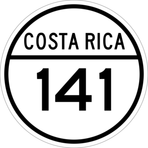
Brisas is connected by roads that help people travel. One important road that goes through the district is:
- National Route 141
See also
 In Spanish: Brisas de Zarcero para niños
 | Leon Lynch |
 | Milton P. Webster |
 | Ferdinand Smith |


