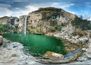
Buchal Kalan facts for kids
Quick facts for kids
Buchal Kalan
|
|
|---|---|
|
Village and Union Council
|
|
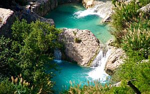
Neela Wahn located in Buchal Kalan
|
|
| Country | Pakistan |
| Region | Punjab Province |
| District | Chakwal District |
| Area | |
| • Total | 1.4 km2 (0.5 sq mi) |
| Elevation | 841 m (2,759 ft) |
| Time zone | UTC+5 (PST) |
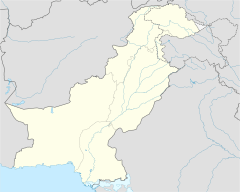
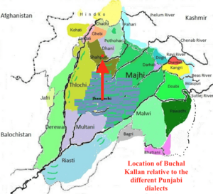
Buchal Kalan (Urdu: بوچھال کلاں), often called just Buchal, is a village in Chakwal District, Punjab Province, Pakistan. It is also a union council, which is like a local administrative area. Buchal Kalan is part of the Kallar Kahar Tehsil.
About 45,000 people live in Buchal Kalan. There are 2,916 homes in the village. It is located about 35 kilometers (22 miles) southwest of Chakwal city. It's also 12 kilometers (7.5 miles) southwest of Kallar Kahar. The village sits at an elevation of 841 meters (2,759 feet) above sea level. Nearby villages include Dharokna and Jhamrah. This area is known as the birthplace of a famous person named Feroz Khan.
Contents
History of Buchal Kalan
This village got its name from a man named Bahauddin. People often called him "Booch." He moved here in the 1500s with his sons. Bahauddin was a descendant of Ali, from an Arab family. He was looking for a good place to live and raise his cattle. He found this area perfect for his needs.
Today, more than 70% of the people in Buchal Kalan are related to Bahauddin. The village has many small family groups, or tribes. The Feroz Khan tribe is one of the oldest.
Learning and Education
Buchal Kalan is a village where many people are well-educated. About 92.9% of the people here can read and write. This is a very high literacy rate! In fact, Buchal Kalan has the highest literacy rate in the entire Chakwal Administrative District.
The village has good schools for its young people. There are two colleges and one high school. This helps many students get a good education. The main part of the village is about 2 square kilometers (0.77 square miles) in size.
Exploring Buchal Kalan's Geography
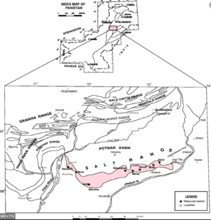
Buchal Kalan is located about 12 kilometers (7.5 miles) southwest of Kallar Kahar. It is also about 30 kilometers (18.6 miles) west of the famous Khewra Salt Mine. Even though Kallar Kahar is close, there's a big difference in how high up they are.
Buchal Kalan sits on the Punjab Salt Range. This is a special geographical area. It's a raised strip of land about 13 kilometers (8 miles) wide and 126 kilometers (78 miles) long. This Salt Range is the newest and southernmost part of the western Himalayan Mountains in Pakistan. Kallar Kahar, however, is in a lower area called the Postwar Basin, which is near these highlands.
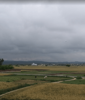
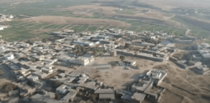
The village itself is quite organized. Most of the buildings and homes are close together. Outside the main village area, you can find large crop fields and open spaces.
Neela Wahn: The Blue Waterfalls
Locals call a beautiful series of water springs and waterfalls "Neela Wahn." This name means "Blue Waterfalls." If you look at an aerial photo, you'll see that the area around these waterfalls is very green. It stands out from the rest of the plateau.


