Buttermilk Channel facts for kids
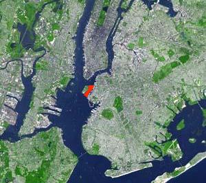
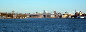
Buttermilk Channel is a narrow waterway in New York City. It's about 1 mile (1.6 km) long and 0.25 miles (0.4 km) wide. This channel separates Governors Island from the Brooklyn area. It's a "tidal strait," meaning ocean tides flow through it.
The channel has special markers to help boats navigate safely. These markers show where the water is shallow or deep. The water currents in Buttermilk Channel can be quite strong.
Contents
History of Buttermilk Channel
How Buttermilk Channel Got Its Name
The exact reason for the name "Buttermilk Channel" isn't fully known. But there are some fun stories! One idea is that dairy farmers used to cross this channel by boat. They were going to sell their milk in Manhattan. Some people say the journey was so rough that the milk would churn into butter!
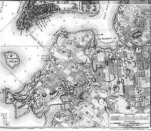
Another story says that before the channel was made deeper for big ships, cows would walk across it. They would cross at low tide to eat grass on Governors Island. The famous writer Walt Whitman even wrote about this. He said that during the American Revolutionary War, cows were driven across the channel.
A Frozen Channel
In the year 1817, there was a very cold winter. It was so cold that the water in the Upper Bay froze solid. People could even drive horse-drawn sleighs across Buttermilk Channel to Governors Island! Imagine that, a frozen waterway where boats usually sail.
Developing the Brooklyn Side
In the 1840s, the Brooklyn side of the channel started to grow. Big projects like the Atlantic Basin and other docks were built. Today, the Atlantic Basin is a busy container port and a place where cruise ships dock. Another area, once called the "Erie Basin," is now home to the Brooklyn IKEA store.
Making the Channel Deeper
In 1902, the U.S. Army Corps of Engineers started making the channel deeper. They did this so larger cargo ships could use it. They made it even deeper in 1913, 1935, and 1962.
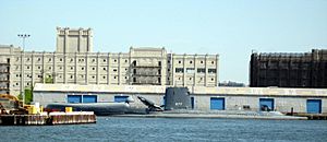
Today, Buttermilk Channel is about 35 to 40 feet (11 to 12 meters) deep. It's still a very important shipping lane for boats going to and from the Brooklyn waterfront. For many years, the main user of the channel was the U.S. Coast Guard. They had a local base on Governors Island.
The Army Corps of Engineers continues to keep the channel deep enough. They did more maintenance dredging in 2016 to make sure ships can still pass through easily.
 | Jewel Prestage |
 | Ella Baker |
 | Fannie Lou Hamer |


