Camel Hump, Wyoming facts for kids
Quick facts for kids
Camel Hump
|
|
|---|---|
| Country | United States |
| State | Wyoming |
| County | Natrona |
| Elevation | 5,564 ft (1,696 m) |
| Time zone | UTC-7 (Mountain (MST)) |
| • Summer (DST) | UTC-6 (MST) |
| GNIS feature ID | 1597244 |
Camel Hump is a small place in Natrona County, Wyoming, in the United States. It is known as an unincorporated community. This means it doesn't have its own local government like a city or town.
What is Camel Hump?
Camel Hump is a community where people live, but it's not officially a city or a town. Instead, it's part of a larger area called a county. In this case, it's located within Natrona County, Wyoming.
Where is Camel Hump Located?
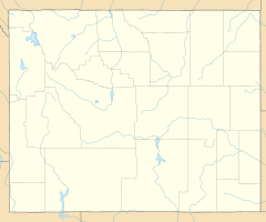
Camel Hump is found in the western part of the United States. It's in the state of Wyoming, which is known for its wide-open spaces and national parks. The community sits at an elevation of about 5,564 feet (1,696 meters) above sea level. This is quite high, meaning it's located in a hilly or mountainous area. Its exact location can be found using coordinates: 43°18′21″N 106°34′8″W.
Understanding Unincorporated Communities
An unincorporated community like Camel Hump doesn't have its own mayor or city council. Instead, the services for the area, like roads or law enforcement, are usually handled by the county government. This is different from a city, which has its own local government to manage things. People living in unincorporated areas still follow state and county laws.
 | Jewel Prestage |
 | Ella Baker |
 | Fannie Lou Hamer |


