Carrillos facts for kids
Quick facts for kids
Carrillos
|
|
|---|---|
|
District
|
|
| Country | |
| Province | Alajuela |
| Canton | Poás |
| Area | |
| • Total | 10.14 km2 (3.92 sq mi) |
| Elevation | 812 m (2,664 ft) |
| Population
(2011)
|
|
| • Total | 9,228 |
| • Density | 910.1/km2 (2,357.0/sq mi) |
| Time zone | UTC−06:00 |
| Postal code |
20804
|
Carrillos is a special area called a district in Costa Rica. It is part of the Poás canton, which is located in the Alajuela province. Think of it like a neighborhood within a larger town or county.
Contents
Where is Carrillos?
Carrillos is located in a beautiful part of Costa Rica. It covers an area of about 10.14 square kilometers. This means it's roughly the size of 1,400 football fields!
How high is Carrillos?
The district is quite high up, with an elevation of 812 meters above sea level. This is like being on top of a very tall building, giving it a unique climate and views.
Who Lives in Carrillos?
Understanding the population helps us learn about a place. In 2011, a census counted the people living in Carrillos.
Population Growth in Carrillos
Over the years, more and more people have chosen to live in Carrillos.
- In 1927, there were 478 people.
- By 1950, the population grew to 829.
- In 1973, it reached 2,170 residents.
- By the year 2000, about 6,901 people lived there.
- The most recent count in 2011 showed a population of 9,228 people.
This shows that Carrillos has been a growing community for a long time!
Getting Around Carrillos
People in Carrillos use roads to travel and connect with other places.
Main Roads in Carrillos
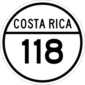
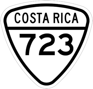
The district is served by important road routes that help people get where they need to go. These include:
- National Route 118
- National Route 723
These roads are like the main arteries that keep the district connected.
See also
 In Spanish: Carrillos para niños
 | Shirley Ann Jackson |
 | Garett Morgan |
 | J. Ernest Wilkins Jr. |
 | Elijah McCoy |


