Chockalog River facts for kids
Quick facts for kids Chockalog |
|
|---|---|

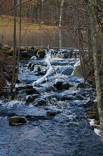
Brook Road crossing upstream view
|
|

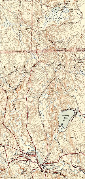
Chockalog River and environs
|
|
| Other name(s) | Chockalaug |
| Country | United States |
| State | Massachusetts, Rhode Island |
| Physical characteristics | |
| River mouth | Nipmuc River 377 ft (115 m) 41°59′45″N 71°41′24″W / 41.99583°N 71.69000°W |
| Length | 2.2 mi (3.5 km) |
The Chockalog River is a small but interesting river in the U.S.. It flows for about 4 kilometers (2 miles) through parts of Massachusetts and Rhode Island. Its name, "Chockalog," comes from an old Native American language and means "fox place."
Contents
Discover the Chockalog River
Where Does the Chockalog River Start?
The Chockalog River begins in a town called Douglas, Massachusetts. It's formed when two smaller streams, Greene Brook and Cedar Swamp Brook, join together.
From there, the river flows south. It travels into Burrillville, Rhode Island, where it meets another stream called Round Top Brook. When they combine, they form a new, larger river called the Nipmuc River.
Crossing the Chockalog River
Because the Chockalog River is quite short, there's only one main road that crosses over it. This crossing is Brook Road, located in Burrillville. It's a good spot to see the river as it flows along.
What Feeds the Chockalog River?
The Chockalog River doesn't have any big streams with their own names that flow into it. However, many smaller, unnamed streams and trickles of water help to feed the river and keep it flowing.
 | Ernest Everett Just |
 | Mary Jackson |
 | Emmett Chappelle |
 | Marie Maynard Daly |

