Chugiak, Anchorage facts for kids
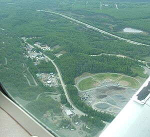
Chugiak is a community in Alaska, near the city of Anchorage. It's about 20 miles (32 km) northeast of downtown Anchorage. Chugiak is not a city on its own, but it's part of the larger Municipality of Anchorage.
Where is Chugiak?
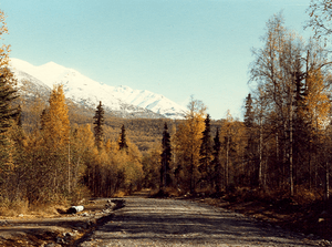
Chugiak is in a beautiful spot in Alaska. To its south is Eagle River, and to its north is Eklutna. On its west side, you'll find the Knik Arm, which is part of the ocean. To the east, there's the Chugach State Park and the big Chugach Mountains.
Chugiak's History
For thousands of years, the land where Chugiak now sits was home to the Dena'ina Athabascan people. The name "Chugiak" comes from a Dena'ina word. It means "place of many places."
New settlers started calling the area "Chugiak" on February 17, 1947. Many of the first people to settle here in the 1950s were former soldiers. They had served in Alaska during World War II and decided to make their homes here. Today, Chugiak is a growing area with many homes near Anchorage.
People of Chugiak
Chugiak first appeared on the U.S. Census in 1960. In 1975, Chugiak joined with the city of Anchorage.
Today, about 10,000 people live in Chugiak. Most of them work in Anchorage or the nearby Matanuska-Susitna Valley. The homes are mostly spread out along the Glenn Highway. The larger area around Chugiak, including its neighbors, has about 31,000 people.
What's in Chugiak Today?
Chugiak is home to the Birchwood Shooting & Recreational Park. This is the largest place in Alaska for rifle, pistol, and shotgun shooting. Big competitions, like the Alaska State Trap and Skeet events, are held there every year.
Chugiak also has its own post office. Its zip code is 99567. This post office serves Chugiak and nearby small communities like Birchwood, Peters Creek, and Eklutna.
 | James B. Knighten |
 | Azellia White |
 | Willa Brown |


