Clay Trails facts for kids
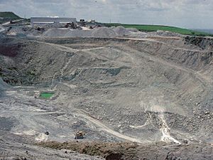
The Clay Trails are awesome paths for cycling and walking in the middle of Cornwall, England. They get their name because they go through an area near St Austell that has been dug up for over 200 years to find a special kind of white clay called china clay. This clay is used to make things like pottery and paper.
These trails are split into different routes, each with its own cool things to see!
Contents
Exploring the Clay Trails
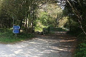
The Clay Trails offer a unique way to see Cornwall's landscape. You can ride your bike or walk through areas that were once busy china clay mines. It's a great way to learn about the history of the area while having fun outdoors.
The Wheal Martyn Trail - 8 km
This trail is about 8 kilometers long. It connects the amazing Eden Project 50°21′40″N 4°44′42″W / 50.361°N 4.745°W to the Wheal Martyn China Clay museum. Along the way, you'll see old china clay pits. These pits have bright white walls and cool turquoise water, which looks really neat!
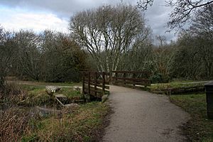
One special spot is the white pyramid. It used to be a pile of waste sand from the clay mining, shaped like a cone. Even though it's now covered in green plants, it's still a cool landmark. The trail also crosses the award-winning William Cookworthy bridge in the Trenance valley.
The St Austell Trail - 2.5 km
This shorter trail is about 2.5 kilometers long. It links the town of St Austell 50°20′17″N 4°47′35″W / 50.338°N 4.793°W to the Wheal Martyn trail. This path follows an old railway line through the Trenance valley.
As you start, you can see the curved viaduct where the main railway line crosses. About a kilometer into the trail, you'll pass the old Carlyon Farm china clay dries. These are huge buildings that were used to dry the clay, and they are the biggest of their kind in Europe!
The Bugle Trail - 6 km
This trail is 6 kilometers long. It connects the village of Bugle 50°23′42″N 4°47′35″W / 50.395°N 4.793°W directly to the Eden Project. It's a great way to cycle to one of Cornwall's most famous attractions.
The St Blazey Trail - 5 km
This trail is 5 kilometers long. It goes from the Eden Project all the way to Par beach, passing through St Blazey 50°21′43″N 4°43′01″W / 50.362°N 4.717°W. Imagine cycling from a famous garden to the seaside!
 | May Edward Chinn |
 | Rebecca Cole |
 | Alexa Canady |
 | Dorothy Lavinia Brown |


