Clover Creek (Bruneau River tributary) facts for kids
Quick facts for kids Clover Creek |
|
|---|---|
|
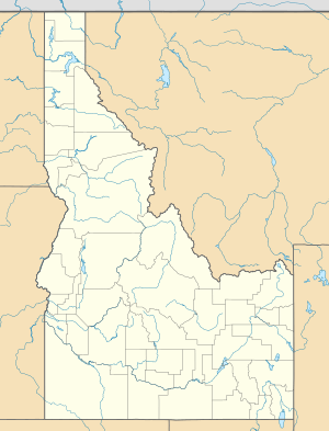
Location of the mouth of Clover Creek in Idaho
|
|
| Country | United States |
| State | Idaho |
| County | Owyhee County, Idaho |
| Physical characteristics | |
| Main source | Owyhee County, Idaho 5,229 ft (1,594 m) 42°09′28″N 115°12′43″W / 42.15778°N 115.21194°W |
| River mouth | Bruneau River Bruneau – Jarbidge Rivers Wilderness, Owyhee County, Idaho 3,218 ft (981 m) 42°34′35″N 115°38′07″W / 42.57639°N 115.63528°W |
| Length | 55 mi (89 km) |
Clover Creek (which was once called East Fork Bruneau River) is a cool stream, or small river, in the state of Idaho in the United States. It's about 55-mile (89 km) long! This creek is a tributary, which means it flows into a bigger river called the Bruneau River.
Exploring Clover Creek
Clover Creek is found in a part of Idaho called Owyhee County. It starts high up in the mountains, at an elevation of about 5,229 feet (1,594 m). That's like starting at the top of a really tall building!
From there, the creek flows generally towards the northwest. It travels through a place known as East Fork Bruneau Canyon.
Journey of the Creek
Clover Creek begins its journey in southeastern Owyhee County. It flows downhill, losing elevation as it goes. The water eventually reaches its end point, called the mouth.
The mouth of Clover Creek is located in the Bruneau – Jarbidge Rivers Wilderness. Here, it joins the Bruneau River. The elevation at the mouth is about 3,218 feet (980.8 m). So, the water travels quite a distance and drops a lot in height!
What's a Wilderness Area?
The Bruneau – Jarbidge Rivers Wilderness is a special place. It's an area of land that is protected by the government. This means it's kept wild and natural. People can visit, but they must leave no trace.
Wilderness areas are important for animals and plants. They help keep nature healthy. They also offer amazing opportunities for people to explore and enjoy the outdoors.
 | Laphonza Butler |
 | Daisy Bates |
 | Elizabeth Piper Ensley |


