Collins, Indiana facts for kids
Quick facts for kids
Collins, Indiana
|
|
|---|---|

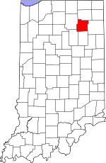
Whitley County's location in Indiana
|
|
| Country | United States |
| State | Indiana |
| County | Whitley |
| Township | Smith |
| Elevation | 863 ft (263 m) |
| Time zone | UTC-5 (Eastern (EST)) |
| • Summer (DST) | UTC-4 (EDT) |
| ZIP code |
46725
|
| Area code(s) | 260 |
| FIPS code | 18-14518 |
| GNIS feature ID | 432790 |
Collins is a small, quiet place in Whitley County, Indiana, in the United States. It's called an "unincorporated community," which means it's a group of homes and businesses that isn't officially a town or city with its own government. Some people might call Collins a "ghost town," but that's not quite right! It just has a very small number of people living there. Long ago, Collins had a school, a general store, and even a mill that processed peppermint grown nearby. It was also famous for growing lots of onions, which were sent all over the country by train!
A Glimpse into Collins' Past
Collins was officially planned out in 1872. It was named after James Collins, who worked for the railroad. In the same year, a post office opened in Collins. This post office helped people send and receive mail until it closed in 1913.
Where is Collins Located?
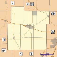
Collins is found at specific geographic coordinates: 41 degrees, 11 minutes, 51 seconds North and 85 degrees, 23 minutes, 12 seconds West. This helps pinpoint its exact spot on a map.
 | Aurelia Browder |
 | Nannie Helen Burroughs |
 | Michelle Alexander |


