Columbus Lake (Mississippi) facts for kids
Quick facts for kids Columbus Lake |
|
|---|---|
| Location | Lowndes / Clay counties, Mississippi |
| Coordinates | 33°32′03″N 88°29′28″W / 33.5341°N 88.4910°W |
| Type | Reservoir |
| Basin countries | United States |
Columbus Lake is a large lake located in the northeastern part of Mississippi. It's not a natural lake but a reservoir, which means it's a man-made lake created by building a dam. This lake is an important part of a huge water highway called the Tennessee–Tombigbee Waterway. It's found near the city of Columbus.
Contents
All About Columbus Lake
Columbus Lake was created by the John C. Stennis Lock and Dam. This dam holds back the water, forming the lake. The lake serves several purposes. It helps control floods, provides a place for boats to travel, and offers fun activities like fishing and boating.
Where is Columbus Lake?
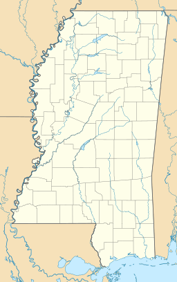
Columbus Lake is located in two different counties in Mississippi: Lowndes County and Clay County. It's easy to find on a map because it's very close to the city of Columbus. Its location makes it a key spot along the Tennessee-Tombigbee Waterway.
What is the Tennessee-Tombigbee Waterway?
The Tennessee-Tombigbee Waterway, often called the "Tenn-Tom," is a massive system of canals and rivers. It connects the Tennessee River to the Tombigbee River. This waterway allows boats and barges to travel from the Tennessee Valley all the way to the Gulf of Mexico. It's like a superhighway for water vehicles, helping to move goods and providing a route for recreational boats. Columbus Lake is one of the important lakes that make up this waterway.
The John C. Stennis Lock and Dam
The John C. Stennis Lock and Dam is the structure that created Columbus Lake. A dam is a barrier built across a river to hold back water. A lock is like a water elevator for boats. It allows boats to move from one water level to another. For example, if a boat needs to go from a lower part of the river to a higher part (or vice versa), it enters the lock. Water is then added or removed to raise or lower the boat to the new level. This system makes it possible for boats to navigate the different elevations along the Tennessee-Tombigbee Waterway.
 | Isaac Myers |
 | D. Hamilton Jackson |
 | A. Philip Randolph |


