Cookville, Texas facts for kids
Quick facts for kids
Cookville
|
|
|---|---|
| Country | United States |
| State | Texas |
| County | Titus |
| Elevation | 433 ft (132 m) |
| Time zone | UTC-6 (Central (CST)) |
| • Summer (DST) | UTC-5 (CDT) |
| ZIP codes |
75558
|
| GNIS feature ID | 1333275 |
Cookville is a small place in Texas, United States. It's known as an "unincorporated community." This means it doesn't have its own local government, like a mayor or city council. Instead, it's usually managed by the county it's in.
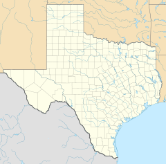
Cookville is located in the eastern part of Titus County. It's found along a main road called U.S. Route 67. If you travel east from the city of Mount Pleasant, which is the main town of Titus County, you'll find Cookville.
What is Cookville?
Cookville is a quiet community that sits about 433 feet (which is about 132 meters) above sea level. Even though it doesn't have its own city government, it does have a post office. This post office is very important for the people living there.
The Cookville Post Office
The post office in Cookville has its own special ZIP code, which is 75558. You can find it right where U.S. Route 67 meets another road called Farm to Market Road 1000. This makes it a central spot for mail and deliveries in the area.
 | Jewel Prestage |
 | Ella Baker |
 | Fannie Lou Hamer |


