Crompton Hill, Indiana facts for kids
Quick facts for kids
Crompton Hill, Indiana
|
|
|---|---|

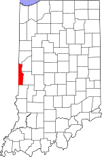
Vermillion County's location in Indiana
|
|
| Country | United States |
| State | Indiana |
| County | Vermillion |
| Township | Clinton |
| Elevation | 610 ft (186 m) |
| Time zone | UTC-5 (Eastern (EST)) |
| • Summer (DST) | UTC-4 (EDT) |
| ZIP code |
47842
|
| Area code(s) | 765 |
| GNIS feature ID | 433146 |
Crompton Hill is a small, quiet place in Indiana. It's called an "unincorporated community," which means it's not officially a city or town with its own local government. Instead, it's part of a larger area called Clinton Township, located in Vermillion County, in the state of Indiana.
Where is Crompton Hill?
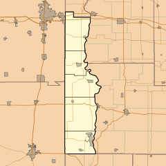
Crompton Hill is located in the state of Indiana, in the United States. It sits on a hill, about 610 feet (186 meters) above sea level. From Crompton Hill, you can look down and see the larger town of Clinton to the east.
A road called Indiana State Road 163, also known as Hazel Bluff Road, goes right through Crompton Hill. This road helps people travel east and west through the area.
What is an Unincorporated Community?
An unincorporated community is a place where people live together, but it doesn't have its own separate local government like a city or town. Instead, it's governed by the larger county or township it's a part of. For Crompton Hill, this means it's managed by Clinton Township and Vermillion County.
This setup is common in many parts of the United States. It often means that services like roads, police, and fire departments are provided by the county government.


