Dalton, Indiana facts for kids
Quick facts for kids
Dalton, Indiana
|
|
|---|---|
| Country | United States |
| State | Indiana |
| County | Wayne |
| Township | Dalton |
| Elevation | 1,066 ft (325 m) |
| Time zone | UTC-5 (Eastern (EST)) |
| • Summer (DST) | UTC-4 (EDT) |
| ZIP code |
47346
|
| Area code(s) | 765 |
| GNIS feature ID | 447636 |
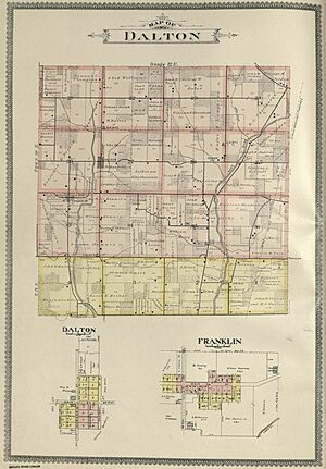
Dalton is a small place in Indiana, a state in the United States. It is an unincorporated community. This means it does not have its own local government, like a city or town would. Dalton is located in Dalton Township, which is part of Wayne County.
History of Dalton
Dalton was officially planned and marked out on a map in 1828. This process is called "platting." It means the streets and plots of land were laid out for future development.
For a while, Dalton was also known by another name. Some people called the community Palmyra.
A post office opened in Dalton in 1838. This was a very important place for people to send and receive mail. It helped connect the community with other places. The post office served the area for many years. However, it eventually closed down in 1901.
 | William Lucy |
 | Charles Hayes |
 | Cleveland Robinson |


