Daniels Pass facts for kids
Quick facts for kids Daniels Pass |
|
|---|---|
| Strawberry Daniels Pass | |
| Elevation | 8,020 ft (2,444 m) |
| Traversed by | |
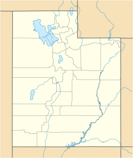
| Location | Wasatch County, Utah United States |
| Range | Uinta Mountains |
| Coordinates | 40°17′50″N 111°15′08″W / 40.297222°N 111.252222°W |
Daniels Pass is a high mountain pass located in Wasatch County, Utah. It sits at an elevation of 8,020 feet [2,440 m], which is quite high up in the mountains! This pass is an important part of U.S. Route 40, a major road that crosses it.
Exploring Daniels Pass
Daniels Pass is like a natural gateway through the Uinta Mountains. It's the highest point along Daniels Canyon. This canyon road connects the town of Heber with the beautiful Strawberry Reservoir.
Where is Daniels Pass Located?
The pass is found within the large Uinta National Forest. This forest is a protected area with lots of trees and wildlife. Daniels Pass is also just inside the Uintah and Ouray Indian Reservation. This reservation is the homeland of the Ute Indian Tribe.
Traveling Through the Pass
Driving over Daniels Pass on U.S. Route 40 offers amazing views. It's a key route for people traveling between different parts of Utah. The road makes it much easier to cross the mountains than it would be otherwise.


