Deerhead, Kansas facts for kids
Quick facts for kids
Deerhead, Kansas
|
|
|---|---|

|
|
| Country | United States |
| State | Kansas |
| County | Barber |
| Elevation | 1,952 ft (595 m) |
| Time zone | UTC-6 (CST) |
| • Summer (DST) | UTC-5 (CDT) |
| Area code | 620 |
| FIPS code | 20-17275 |
| GNIS ID | 484520 |
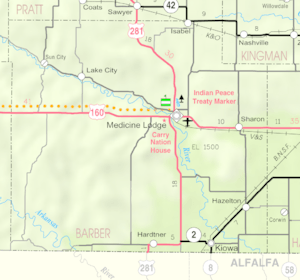
Welcome to Deerhead, a small place in Barber County, Kansas, United States. It's known as an unincorporated community, which means it doesn't have its own local government like a city or town. Instead, it's part of the larger county. Deerhead is located about 18 miles (29 km) west-southwest of a town called Medicine Lodge.
History of Deerhead
Even though Deerhead is a small community, it once had its own post office. A post office is where people send and receive mail. The Deerhead post office first opened its doors in 1885. It closed for a short time in 1894 but reopened the very next year, in 1895. However, it eventually closed for good in 1923. This often happens in small communities as populations change over time.
Geography and Climate
Understanding Deerhead's Weather
The weather in Deerhead is usually quite warm. Summers are hot and often feel humid, which means there's a lot of moisture in the air. Winters are generally mild, not too cold, but can sometimes be cool.
Scientists use something called the Köppen Climate Classification system to describe climates around the world. For Deerhead, this system calls its climate a "humid subtropical climate." You might see this written as "Cfa" on climate maps. This simply means the area has warm, wet summers and mild winters, which is a common type of weather in many parts of the southeastern United States.
 | John T. Biggers |
 | Thomas Blackshear |
 | Mark Bradford |
 | Beverly Buchanan |


